


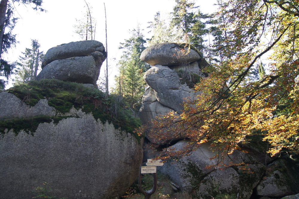
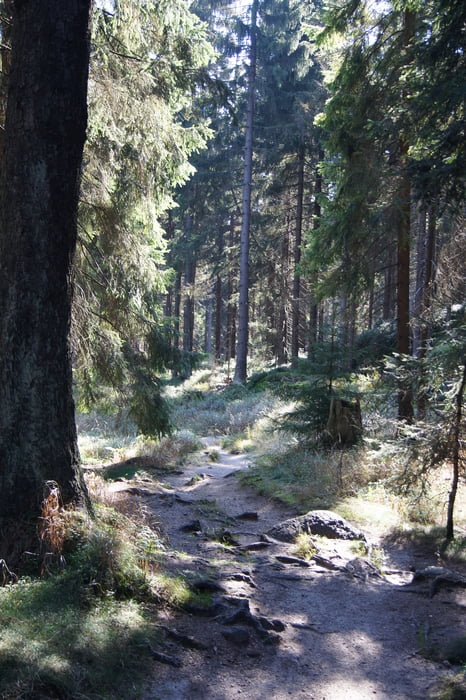
Vom Wanderparkplatz kurz vor Neubau (aus Bayreuth kommend) verläuft der Weg gen Ochsenkopf. Dort angekommen hat man einen schönen Blick auf das Fichtelgebirge und den Schneeberg, den höchsten Berg Frankens, vis-à-vis. Auf dem Rückweg führt die Tour zu einem zweiten sehr schönen Aussichtspunkt. Nun hat man sowohl den Ochsenkopf als auch den Schneeberg im Blick. Zwischendurch führt der Weg auch vorbei an der Quelle des Mains.
Tour gallery


Tour map and elevation profile
Minimum height 752 m
Maximum height 1048 m
More about the tour author
|
|
Huthinho |
Comments

GPS tracks
Trackpoints-
GPX / Garmin Map Source (gpx) download
-
TCX / Garmin Training Center® (tcx) download
-
CRS / Garmin Training Center® (crs) download
-
Google Earth (kml) download
-
G7ToWin (g7t) download
-
TTQV (trk) download
-
Overlay (ovl) download
-
Fugawi (txt) download
-
Kompass (DAV) Track (tk) download
-
Track data sheet (pdf) download
-
Original file of the author (gpx) download
More about the tour author
|
|
Huthinho |
Add to my favorites
Remove from my favorites
Edit tags
Open track
My score
Rate