Login

Forgotten password?

Cookies have to be accepted!
Your browser's cookie functionality is disabled. Please enable this functionality.

Not a member yet?

Register now
Login

Available for registred users only

Log in to use this feature.

Forgotten password?

Cookies have to be accepted!
Your browser's cookie functionality is disabled. Please enable this functionality.

Not a member yet?

Register now
Filter
Categories
Advanced filters
  • Distance (km)
  • Height
Save filters Reset filter

TrackRank

QRCode

Technical data

Distance70,2 km Height708 m Way down702 m Duration00:00 h:m Date26.08.2012
Scores Author Landscape Fun factor Fitness Technique

Statistics

1426 Views Scores 94 Downloads Average
Rate
  • Track data sheet
  • Directions
  • Downloads
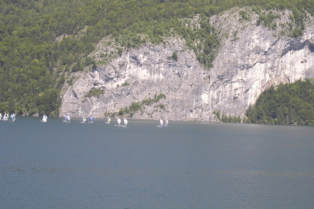
Ausgangspunkt Mondsee, Thalgau, nach Süden auf der Fuschler Straße, Schnitzlehen, Egg, Fuschl, St.Gilgen, Abersee, Fähre nach St. Wolfgang, Strobl, St. Gilgen, Aich, zum Mondsee hinüber, am Südufer zurück nach Mondsee

Tour gallery

Tour map and elevation profile

  • Open Street Map
  • Google
Minimum height 484 m Maximum height 789 m Detailed view

More about the tour author

walderich
Member since 2012

Send private message

Comments

GPS tracks

Trackpoints
  • GPX / Garmin Map Source (gpx) download
  • TCX / Garmin Training Center® (tcx) download
  • CRS / Garmin Training Center® (crs) download
  • Google Earth (kml) download
  • G7ToWin (g7t) download
  • TTQV (trk) download
  • Overlay (ovl) download
  • Fugawi (txt) download
  • Kompass (DAV) Track (tk) download
  • Track data sheet (pdf) download
  • Original file of the author (gpx) download

More about the tour author

walderich
Member since 2012

Send private message
Share track
Add to my favorites
Remove from my favorites
Edit tags
My score
Rate
Track: Fuschlsee, Wolfgangsee Runde von Mondsee aus
Type: Bicycle tours
Distance: 70,2 km
Evaluated on:
Duration:
Day(s)
Hour(s)
Minute(s)
Score: Landscape Fun factor Fitness Technique