Login

Forgotten password?

Cookies have to be accepted!
Your browser's cookie functionality is disabled. Please enable this functionality.

Not a member yet?

Register now
Login

Available for registred users only

Log in to use this feature.

Forgotten password?

Cookies have to be accepted!
Your browser's cookie functionality is disabled. Please enable this functionality.

Not a member yet?

Register now
Filter
Categories
Advanced filters
  • Distance (km)
  • Height
Save filters Reset filter

TrackRank

QRCode

Technical data

Distance30,9 km Height246 m Way down263 m Duration02:30 h:m Date26.08.2012
Scores Author Landscape Fun factor Fitness Technique

Statistics

144 Views Scores 15 Downloads Average
Rate
  • Track data sheet
  • Directions
  • Downloads

nach steilen Anstieg über die Suhle Quelle geht es zum Wilrodaer Forsthaus.

Von dort geht es weiter zum Hubertus mit einen schönen Biergarten.

Vom Hubertus geht es zum Waldhaus, wo der nächste
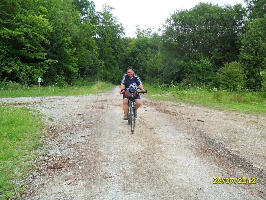
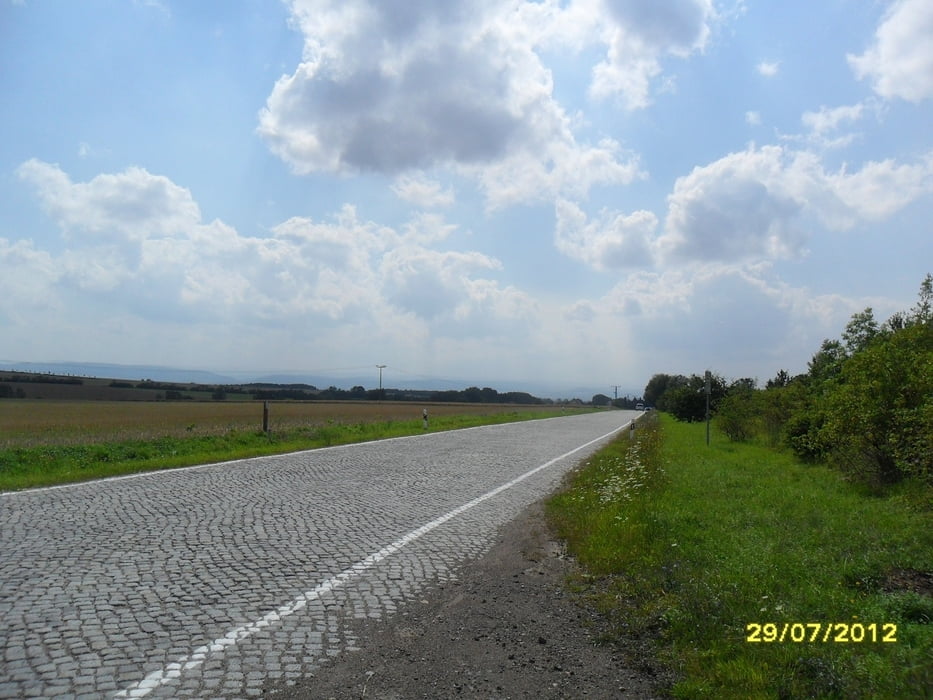
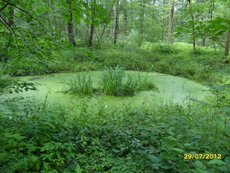
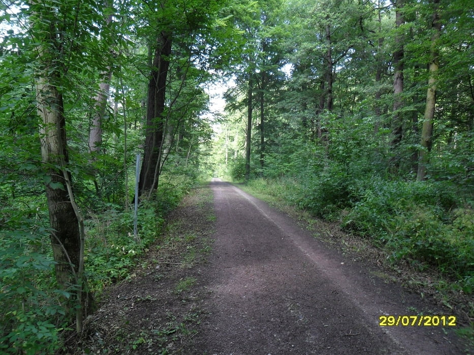
Tour gallery

Tour map and elevation profile

  • Open Street Map
  • Google
Minimum height 196 m Maximum height 414 m Detailed view

More about the tour author

drzahnweh
Member since 2011

Send private message

Comments

vom Erfurter HBF wenige Fahrradminuten zur Kreuzung Leipziger Strasse Insbrucker Weg

GPS tracks

Trackpoints
  • GPX / Garmin Map Source (gpx) download
  • TCX / Garmin Training Center® (tcx) download
  • CRS / Garmin Training Center® (crs) download
  • Google Earth (kml) download
  • G7ToWin (g7t) download
  • TTQV (trk) download
  • Overlay (ovl) download
  • Fugawi (txt) download
  • Kompass (DAV) Track (tk) download
  • Track data sheet (pdf) download
  • Original file of the author (gpx) download

More about the tour author

drzahnweh
Member since 2011

Send private message
Share track
Add to my favorites
Remove from my favorites
Edit tags
My score
Rate
Track: Biergarten Tour
Type: Trekkingbike
Distance: 30,9 km
Evaluated on:
Duration:
Day(s)
Hour(s)
Minute(s)
Score: Landscape Fun factor Fitness Technique