Login

Forgotten password?

Cookies have to be accepted!
Your browser's cookie functionality is disabled. Please enable this functionality.

Not a member yet?

Register now
Login

Available for registred users only

Log in to use this feature.

Forgotten password?

Cookies have to be accepted!
Your browser's cookie functionality is disabled. Please enable this functionality.

Not a member yet?

Register now
Filter
Categories
Advanced filters
  • Distance (km)
  • Height
Save filters Reset filter

TrackRank

QRCode

Technical data

Distance75,8 km Height558 m Way down545 m Duration06:00 h:m Date26.08.2012
Scores Author Landscape Fun factor Fitness Technique

Statistics

186 Views Scores 14 Downloads Average
Rate
  • Track data sheet
  • Directions
  • Downloads

Rundfahrt über die Fahner Höhen

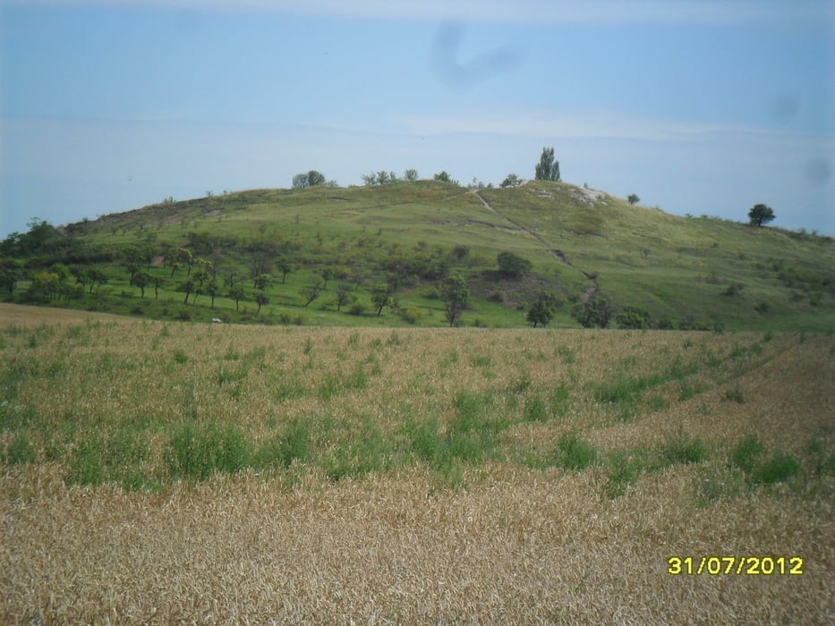
Der erste Teil ist geprägt von steilen Anstiegen und schönen Aussichten.

Im mittleren Teil geht ist auf der Höhe durch den Wald - sehr schön.

Auf der Rückfahrt geht es über oder weniger befahren Straßen.
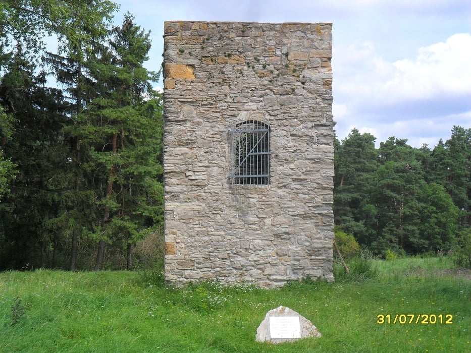
Tour gallery

Tour map and elevation profile

  • Open Street Map
  • Google
Minimum height 129 m Maximum height 366 m Detailed view

More about the tour author

drzahnweh
Member since 2011

Send private message

Comments

wenige Fahrradminunten vom Erfurter HBF

GPS tracks

Trackpoints
  • GPX / Garmin Map Source (gpx) download
  • TCX / Garmin Training Center® (tcx) download
  • CRS / Garmin Training Center® (crs) download
  • Google Earth (kml) download
  • G7ToWin (g7t) download
  • TTQV (trk) download
  • Overlay (ovl) download
  • Fugawi (txt) download
  • Kompass (DAV) Track (tk) download
  • Track data sheet (pdf) download
  • Original file of the author (gpx) download

More about the tour author

drzahnweh
Member since 2011

Send private message
Share track
Add to my favorites
Remove from my favorites
Edit tags
My score
Rate
Track: Fahner Hoehen
Type: Trekkingbike
Distance: 75,8 km
Evaluated on:
Duration:
Day(s)
Hour(s)
Minute(s)
Score: Landscape Fun factor Fitness Technique