


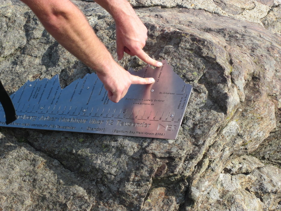
Der Beginn der Wanderung war Reitenberg, ein kleiner Ort oberhalb Bad Kötzting und folgt im wesentlichen dieser Beschreibung : http://www.bayerischer-wald-verein.de/12-Tausender/
Normalerweise geht man das in zwei Tagen, wir haben uns vorgenommen es in einem Tag zu schaffen, was uns auch gelungen ist.
Unser Ziel war der Parkplatz "Rißlochfälle" in Bodenmais, wo wir das zweite Auto geparkt haben.
Landschaftlich ein Traum, gute Kondition nötig
Further information at
http://www.bayerischer-wald-verein.de/12-Tausender/Tour gallery

Tour map and elevation profile
Minimum height 760 m
Maximum height 1450 m
More about the tour author

|
pudlitsch |
Comments

GPS tracks
Trackpoints-
GPX / Garmin Map Source (gpx) download
-
TCX / Garmin Training Center® (tcx) download
-
CRS / Garmin Training Center® (crs) download
-
Google Earth (kml) download
-
G7ToWin (g7t) download
-
TTQV (trk) download
-
Overlay (ovl) download
-
Fugawi (txt) download
-
Kompass (DAV) Track (tk) download
-
Track data sheet (pdf) download
-
Original file of the author (gpx) download
More about the tour author
|
|
pudlitsch |
Add to my favorites
Remove from my favorites
Edit tags
Open track
My score
Rate