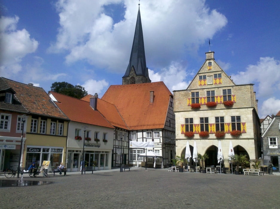
Vom Bahnhof Lünen erreicht man über die Kurt-Schumacher-Straße schnell den Anschluss an die Römerroute. In Werne bin ich eine Runde durch die Altstadt gefahren. In Hamm erreicht man von der Wilhelmstraße aus auf kurzem Weg den Bahnhof.
Tour gallery
Tour map and elevation profile
Minimum height 35 m
Maximum height 90 m
Comments

GPS tracks
Trackpoints-
GPX / Garmin Map Source (gpx) download
-
TCX / Garmin Training Center® (tcx) download
-
CRS / Garmin Training Center® (crs) download
-
Google Earth (kml) download
-
G7ToWin (g7t) download
-
TTQV (trk) download
-
Overlay (ovl) download
-
Fugawi (txt) download
-
Kompass (DAV) Track (tk) download
-
Track data sheet (pdf) download
-
Original file of the author (gpx) download
Add to my favorites
Remove from my favorites
Edit tags
Open track
My score
Rate


