Login

Forgotten password?

Cookies have to be accepted!
Your browser's cookie functionality is disabled. Please enable this functionality.

Not a member yet?

Register now
Login

Available for registred users only

Log in to use this feature.

Forgotten password?

Cookies have to be accepted!
Your browser's cookie functionality is disabled. Please enable this functionality.

Not a member yet?

Register now
Filter
Categories
Advanced filters
  • Distance (km)
  • Height
Save filters Reset filter

TrackRank

QRCode

Technical data

Distance78,7 km Height1974 m Way down1944 m Duration05:00 h:m Date01.09.2012
Scores Author User Landscape Fun factor Fitness Technique

Statistics

653 Views 1 Score 132 Downloads 4.00 Average
Rate
  • Track data sheet
  • Directions
  • Downloads

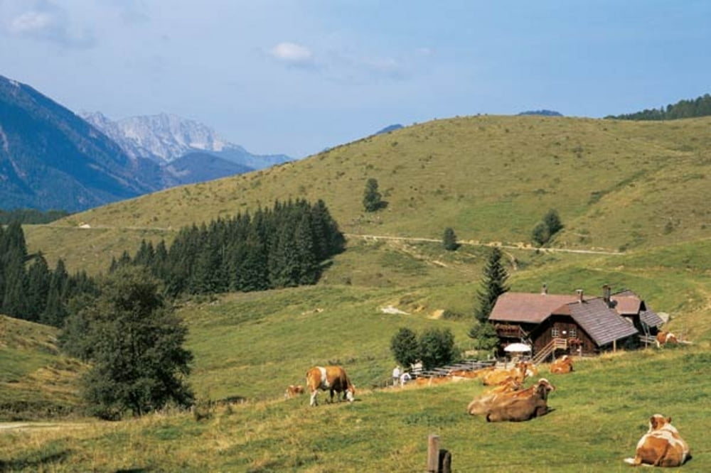
Wunderschöne Rundtour ab Breitenau (nach Molln), bei bestem Wetter am schönsten! 3 fordernde Anstiege wobei der Anstieg zum Hirschkogelsattel doch einen kleinen Gang erfordert ;-))

Highlights wie GROSSE SCHLUCHT mit beeindruckenden Tunnels, GR.KLAUSE, das verschlafene BRUNNBACH, ANLAUFALM (1. Rast) und EBENFORSTALM (2. Rast) sowie schöne Rundumblicke verschaffen den totalen Überblick über die Schönheiten des Nationalpark Kalkalpen - ALL IN ONE DAY!  Reine Fahrzeit ca. 5 Stunden (flott), mit Rast entsprechend länger, sind ja doch über 2000 HM im Aufstieg. Nicht vergessen: Unbedingt auf den 2 Almen einkehren auf Steirerkasbrot und Wasser (oder Bier :-)) 


Tour gallery

Tour map and elevation profile

  • Open Street Map
  • Google
Minimum height 420 m Maximum height 1173 m Detailed view

More about the tour author

triathlon
Member since 2009

Send private message

Comments

Autobahn A9 vom Voralpenkreuz kommend Richtung Graz bis Abfahrt Klaus, weiter B140 nach Molln, dann südlich Richtung BREITENAU. Start einige km später, Aueralmbach bei Pferdehof direkt an der Straße (Beschilderung Richtung Geißhanslhütte)

GPS tracks

Trackpoints
  • GPX / Garmin Map Source (gpx) download
  • TCX / Garmin Training Center® (tcx) download
  • CRS / Garmin Training Center® (crs) download
  • Google Earth (kml) download
  • G7ToWin (g7t) download
  • TTQV (trk) download
  • Overlay (ovl) download
  • Fugawi (txt) download
  • Kompass (DAV) Track (tk) download
  • Track data sheet (pdf) download
  • Original file of the author (gpx) download

More about the tour author

triathlon
Member since 2009

Send private message
Share track
Add to my favorites
Remove from my favorites
Edit tags
My score
Rate
Track: Hintergebirge HIGHLIGHTS
Type: Mountain bike
Distance: 78,7 km
Evaluated on:
Duration:
Day(s)
Hour(s)
Minute(s)
Score: Landscape Fun factor Fitness Technique