


Wo dieIlse nach Ilsenburg hineinläuft befindet sich der letzte Parkplatz vor dem Wald.
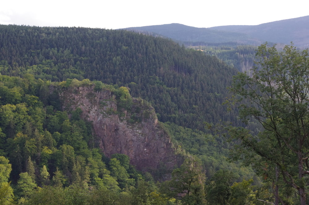
Nach wenigen Metern zweigt ein Wanderweg nach rechts den Berg hoch ab. Nach einigen Zacken erreicht man die Kuppe und kurz danach denFroschfelsen. Auf der Höhe passierte ich noch einige Findlinge und einen kleinen Aussichtspunkt mit schöner Aussicht auf die gegenüberliegende Talseite.
Das hat mir so gut gefallen dass ich zügig in das abgestiegen bin um dann etwas weiter talaufwärts die andere Talseite zu erreichen.
Das Ziel war eine Klippe (Ilsenstein) mit geschlossenem Imbiss. Atemberaubende Ausblicke waren der Lohn.
So war der Abstieg entspannt und eine schöne Runde zu Ende.
Further information at
https://de.wikipedia.org/wiki/IlsenburgTour gallery


Tour map and elevation profile
Minimum height 276 m
Maximum height 537 m
More about the tour author
|
|
Pheinz |
Comments

Parkplatz im Ilsental
GPS tracks
Trackpoints-
GPX / Garmin Map Source (gpx) download
-
TCX / Garmin Training Center® (tcx) download
-
CRS / Garmin Training Center® (crs) download
-
Google Earth (kml) download
-
G7ToWin (g7t) download
-
TTQV (trk) download
-
Overlay (ovl) download
-
Fugawi (txt) download
-
Kompass (DAV) Track (tk) download
-
Track data sheet (pdf) download
-
Original file of the author (gpx) download
More about the tour author
|
|
Pheinz |
Add to my favorites
Remove from my favorites
Edit tags
Open track
My score
Rate