

Von Schenna 150 hm zur Seilbahnstation, mit der Bahn (1000hm) nach Meran 2000 und auf super Wege u Trails (mit Bikeacademy Meranerland) zurück nach Schenna.
Die Mutigen nehmen den Trail (S2) direkt an der Wurzeralm links, noch vor dem Gatter, bis Hafling.
und an der Kirche von St. Kathrein geht gleich unterhalb der Kirche mit bilck ins Tal ein feiner Trail (S2) bis zur Talstation.
der Einstieg ist nicht leicht zu erkennen.
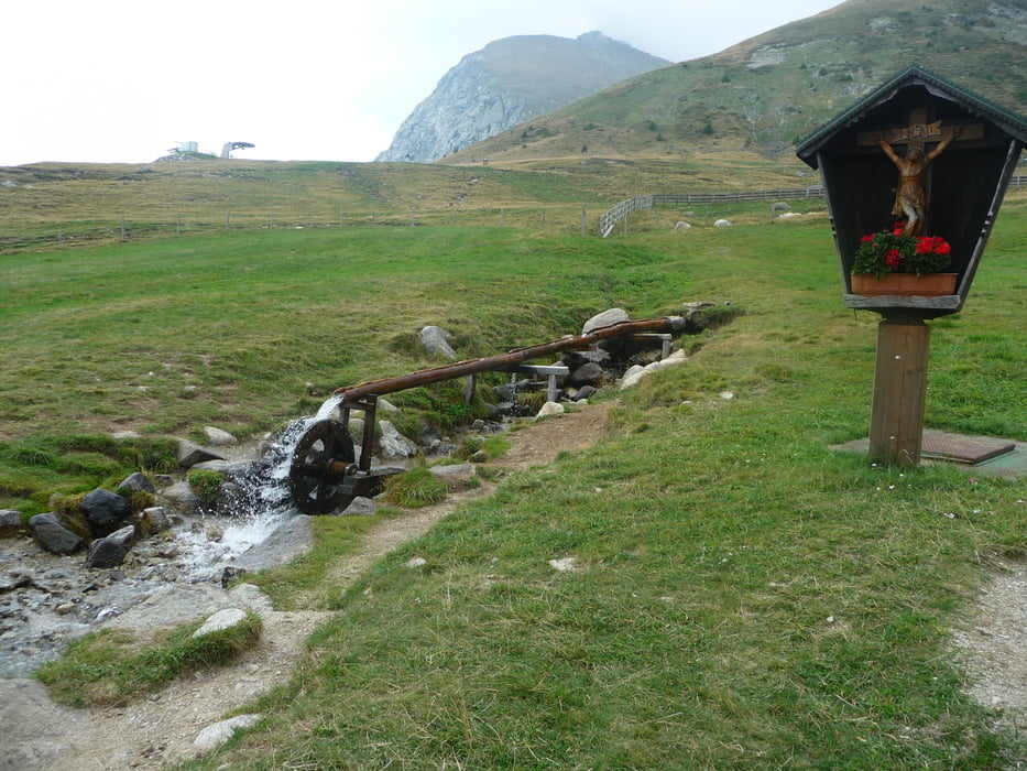
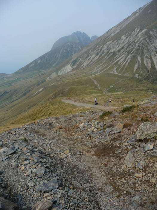
Tour gallery


Tour map and elevation profile
Minimum height 327 m
Maximum height 2389 m
More about the tour author
|
|
uweg |
Comments

GPS tracks
Trackpoints-
GPX / Garmin Map Source (gpx) download
-
TCX / Garmin Training Center® (tcx) download
-
CRS / Garmin Training Center® (crs) download
-
Google Earth (kml) download
-
G7ToWin (g7t) download
-
TTQV (trk) download
-
Overlay (ovl) download
-
Fugawi (txt) download
-
Kompass (DAV) Track (tk) download
-
Track data sheet (pdf) download
-
Original file of the author (gpx) download
More about the tour author
|
|
uweg |
Add to my favorites
Remove from my favorites
Edit tags
Open track
My score
Rate