


Auch hier handelt es sich wieder um eine sehr schöne Tour im Markgräflerland.
Gestartet wird in Bad Sulzburg am Waldhotel.
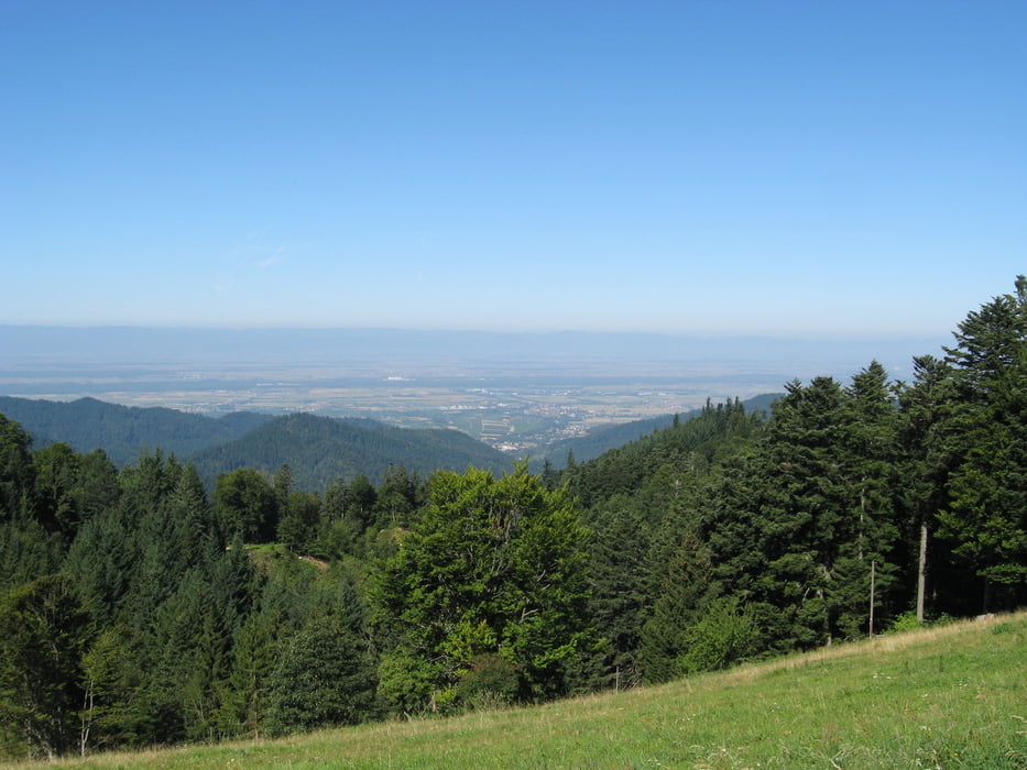
Nach dem Startpilot geht es hinauf zur Kälblescheuer.
Hier hat man eine herrliche Aussicht über die gesamte Region.
Nach dem reichhaltigen Mittagessen geht es weiter zum Gabler-Eck.
Dieser Punkt lädt zu einem Pit-Stop ein.
Unser besonderer Dank gilt Felix ! :-)
Nun geht es bergab Richtung Kastelberg. Auch hier gibt es einen einladenden Rastplatz.
Durch Dottingen geht es weiter nach Betberg.
Wo wir traditionell in der Rieger-Straußi einkehren.
Das letzte Wegstück ist allen wohl bekannt.
Es führt uns nach Seefelden zum Weingut Gunzenhauser, wo wie alljährlich unseren Tagesabschluss machen.
Viel Spass im Markgrälerland.
Margräflerland, wir kommen wieder !!!!
Tour gallery


Tour map and elevation profile
Minimum height 218 m
Maximum height 979 m
More about the tour author
|
|
Tom19 |
Comments

Auf der B3 von Freiburg kommend über Sulzburg nach Bad Sulzburg zum Waldhotel.
Siehe Daten
GPS tracks
Trackpoints-
GPX / Garmin Map Source (gpx) download
-
TCX / Garmin Training Center® (tcx) download
-
CRS / Garmin Training Center® (crs) download
-
Google Earth (kml) download
-
G7ToWin (g7t) download
-
TTQV (trk) download
-
Overlay (ovl) download
-
Fugawi (txt) download
-
Kompass (DAV) Track (tk) download
-
Track data sheet (pdf) download
-
Original file of the author (gpx) download
More about the tour author
|
|
Tom19 |
Add to my favorites
Remove from my favorites
Edit tags
Open track
My score
Rate