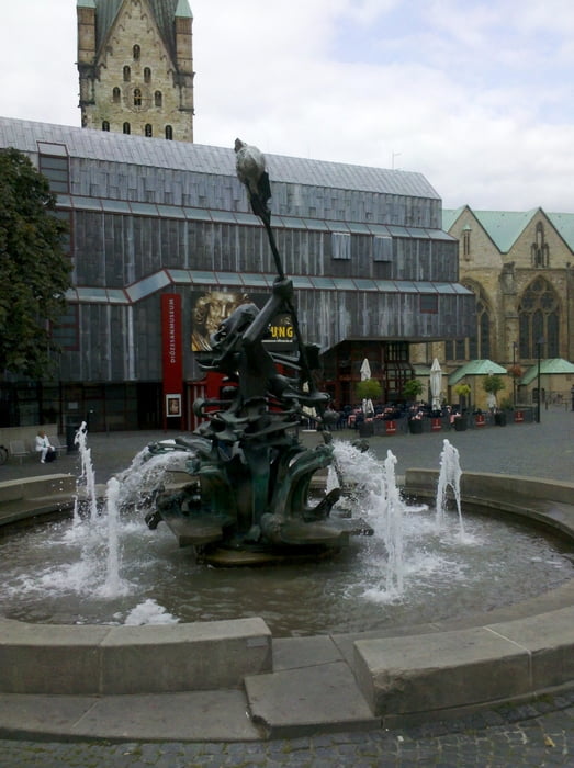
Vom Bahnhof Paderborn geht es zu den Paderanlagen. Hier wird wieder die Römerroute erreicht. An der Route liegen die Externsteine (kleiner Abstecher dorthin). In Berlebeck habe ich die Römerroute verlassen und bin über steile/schlechte Wegstrecken zum Hermannsdenkmal gefahren. Von dort auf der Römerroute zum Bahnhof Detmold.
Tour gallery
Tour map and elevation profile
Minimum height 122 m
Maximum height 387 m
Comments

GPS tracks
Trackpoints-
GPX / Garmin Map Source (gpx) download
-
TCX / Garmin Training Center® (tcx) download
-
CRS / Garmin Training Center® (crs) download
-
Google Earth (kml) download
-
G7ToWin (g7t) download
-
TTQV (trk) download
-
Overlay (ovl) download
-
Fugawi (txt) download
-
Kompass (DAV) Track (tk) download
-
Track data sheet (pdf) download
-
Original file of the author (gpx) download
Add to my favorites
Remove from my favorites
Edit tags
Open track
My score
Rate


