


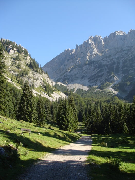
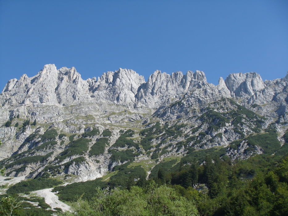
Diese Tour führt von der Wochebrunner Alm über die Gaudeamushütte in Richtung Ellmauer Tor. Bis zur Gaudeamushütte ist der Weg leicht ansteigend und insgesamt gut zu bewältigen. Ab dann wird der Weg wesentlich steiler und die Tour endet im sogenannten Kübelkar.
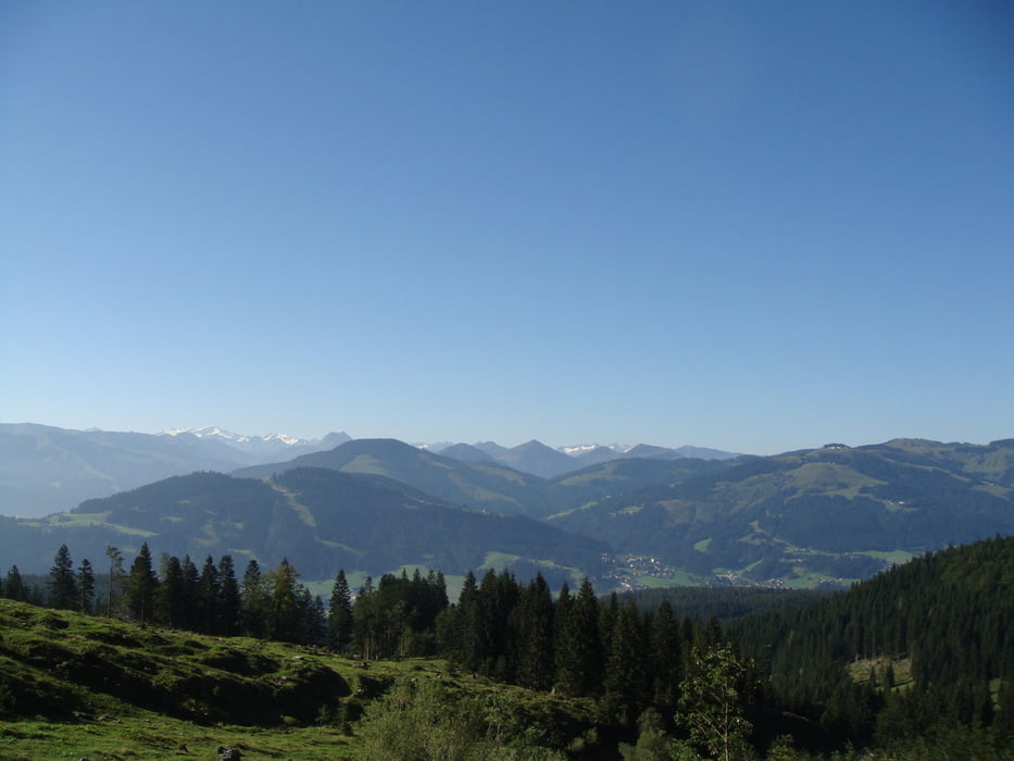
Von dort überwältigender Blick auf das Ellmauer Tor auf der einen Seite und den Kitzbüheler Alpen auf der anderen Seite. Konditionsstarke Wanderer laufen weiter zum Ellmauer Tor und eventuell zur Hinteren Goinger Halt.
Tour gallery

Tour map and elevation profile
Minimum height 1087 m
Maximum height 1580 m
More about the tour author
|
|
Huthinho |
Comments

Von Ellmau über eine mautpflichtige Straße zum Wanderparkplatz der Wochenbrunner Alm.
GPS tracks
Trackpoints-
GPX / Garmin Map Source (gpx) download
-
TCX / Garmin Training Center® (tcx) download
-
CRS / Garmin Training Center® (crs) download
-
Google Earth (kml) download
-
G7ToWin (g7t) download
-
TTQV (trk) download
-
Overlay (ovl) download
-
Fugawi (txt) download
-
Kompass (DAV) Track (tk) download
-
Track data sheet (pdf) download
-
Original file of the author (gpx) download
More about the tour author
|
|
Huthinho |
Add to my favorites
Remove from my favorites
Edit tags
Open track
My score
Rate