


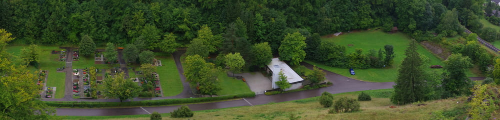
Vom Parkplatz beim Friedhof geht es gleich steil den Berg rauf.
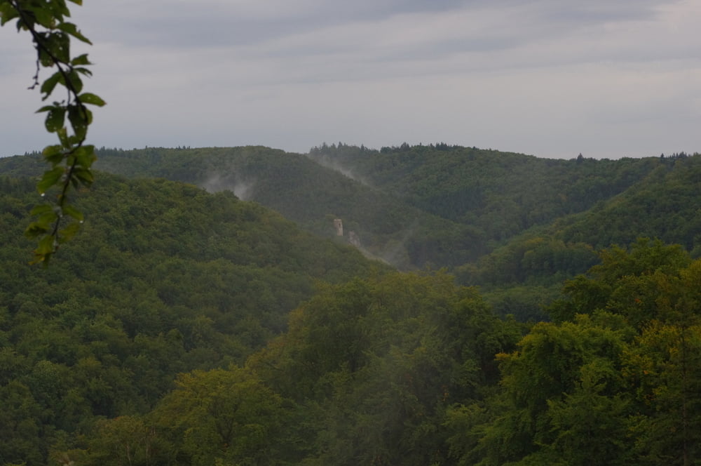
Die Ruine der Burg Schenkenstein besteht nur noch aus einem alten unzugänglichen Bergfried am Ende eines Bergsprns. Die Aussicht vom vorgelagerten Fels ist super. Besser man ist schwindelfrei.
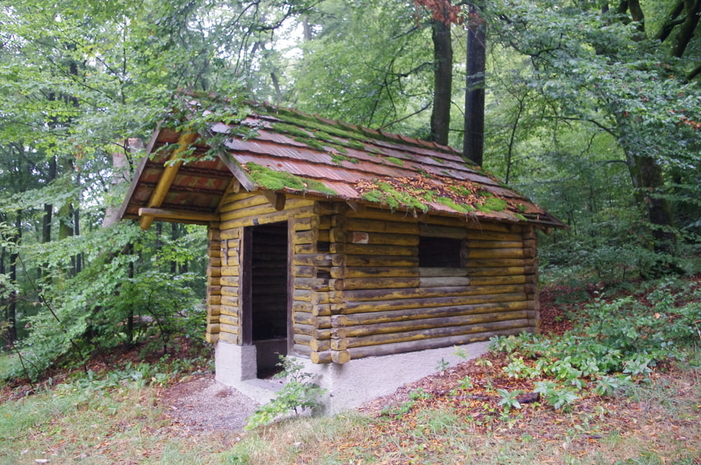
Dann folgt der Weg den Forststraßen bis dann der Tierstein erreicht wird. Falls es regnet kann in der Schutzhütte untergestanden werden. Von hier kann der Schenkenstein noch einmal gesehen werden.
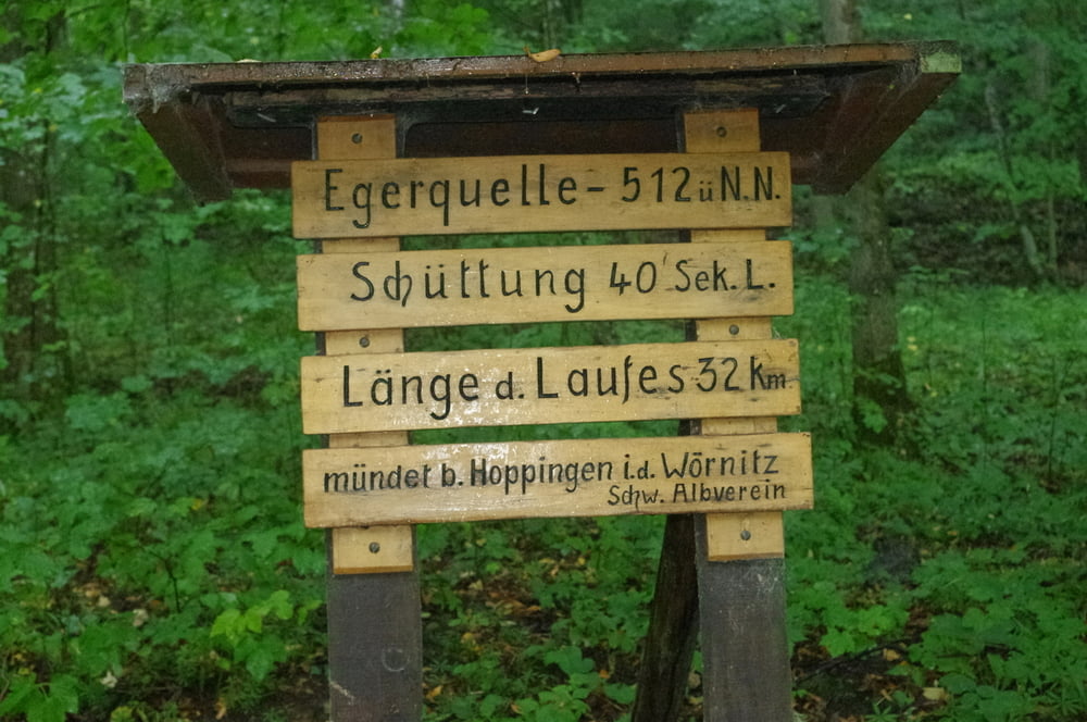
Unten im Tal entspringt die Eger. Der Quelltopf ist nett eingefasst und ist einen Besuch wert.
Das Sägewerk wird nach der finsteren Durchquerung des Bahndammes rechts liegen gelassen und bald ist der Ausgangspunkt wieder erreicht.
Nette kleine Runde.
Further information at
https://de.wikipedia.org/wiki/BopfingenTour gallery
Tour map and elevation profile
Minimum height 492 m
Maximum height 615 m
More about the tour author
|
|
Pheinz |
Comments

Vom Parkplatz beim Friedhof geht es los.
GPS tracks
Trackpoints-
GPX / Garmin Map Source (gpx) download
-
TCX / Garmin Training Center® (tcx) download
-
CRS / Garmin Training Center® (crs) download
-
Google Earth (kml) download
-
G7ToWin (g7t) download
-
TTQV (trk) download
-
Overlay (ovl) download
-
Fugawi (txt) download
-
Kompass (DAV) Track (tk) download
-
Track data sheet (pdf) download
-
Original file of the author (gpx) download
More about the tour author
|
|
Pheinz |
Add to my favorites
Remove from my favorites
Edit tags
Open track
My score
Rate