
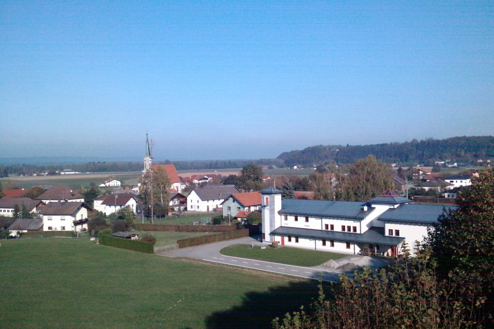

Romantischer Rundweg in Überackern
Wir gehen entlang des Mühlbaches bis zum "Prinzenweiher". Weiter geht es auf der Dammkrone bis zur OMV Gasstation. Hier verlassen wir den Damm und gehen zur Ortsmitte. Gegenüber der Kirche ist ein Kneippgarten der zum verweilen einlädt. Nach dem Kneippgarten gehen wir die nächste Staße links und dann gleich wieder rechts. Wir folgen dem Alterbach bis zur Kapelle. Hier wieder links und dann rechts zurück zum Ausgangspunkt.
Zur Rast kann ins Gasthaus Spiegelwirt oder Gasthaus Tschugunow www.ghtschugunow.at/index.html eingekehrt werden.
Tour map and elevation profile
Minimum height 389 m
Maximum height 429 m
More about the tour author

|
StephanSohn |
Comments

Auf der Straße zwischen Braunau und Hochburg/Ach beim Handymasten nach Überackern abbiegen. Den Berg hinunter und beim Gasthaus Spiegelwirt rechts abbiegen.
GPS tracks
Trackpoints-
GPX / Garmin Map Source (gpx) download
-
TCX / Garmin Training Center® (tcx) download
-
CRS / Garmin Training Center® (crs) download
-
Google Earth (kml) download
-
G7ToWin (g7t) download
-
TTQV (trk) download
-
Overlay (ovl) download
-
Fugawi (txt) download
-
Kompass (DAV) Track (tk) download
-
Track data sheet (pdf) download
-
Original file of the author (gpx) download
More about the tour author
|
|
StephanSohn |
Add to my favorites
Remove from my favorites
Edit tags
Open track
My score
Rate