


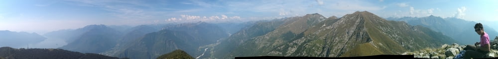
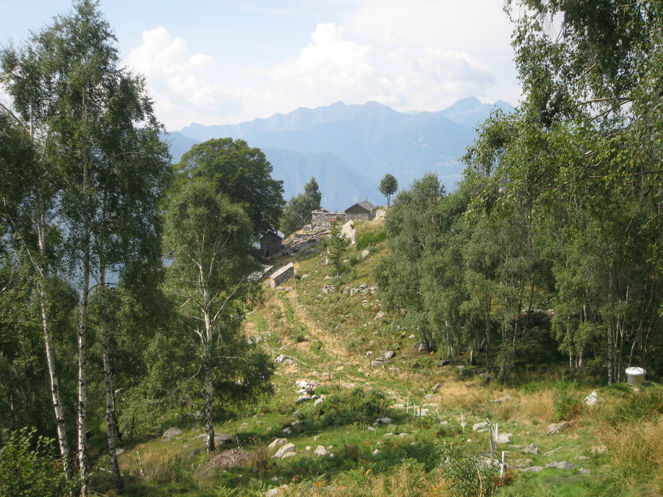
Die Tour geht zum Hausberg von Locarno und dann per pedes zurück zum Campingplatz Piccolo Paradiso im Maggiatal. Wir nehmen erst das Postauto Linie 315 bis Locarno Station (2012: 4.20 CHF p.P.). Weiter geht es bis Orselina mit der Standseilbahn (4.50 CHF) und schließlich mit der Kabinenbahn bis Cardada und dem Sessellift nach Cimetta hinauf (zusammen 30 CHF). Erst jetzt werden die Füße eingesetzt um auf den Cima della Trosa und wieder hinab nach Avegno zu gelangen. Die Tour bietet, falls das Wetter mitspielt, herrliche Fernsicht und schöne Einblicke. Der nicht endend wollende Abstieg ist freilich recht ermüdend. Als Trost ist es ab der Alpe Vegnasca herrlich einsam zudem bietet die Alpe Monaste ein wunderschön restauriertes Tessiner Bergdorf.
Further information at
http://www.camping-piccoloparadiso.com/#!home/mainPageTour gallery


Tour map and elevation profile
Minimum height 298 m
Maximum height 1872 m
More about the tour author
|
|
Saxoniaradler |
Comments

Aus Deutschland kommend fährt man am besten durch den San Bernardino-Tunnel und bezahlt dann Autobahnmaut in Austria und in der Schweiz, aber das Benzin ist halt viel billiger ….!! Für Camper am Waldbad in Freiberg ist es eh ein bisschen weit!? ;-)
GPS tracks
Trackpoints-
GPX / Garmin Map Source (gpx) download
-
TCX / Garmin Training Center® (tcx) download
-
CRS / Garmin Training Center® (crs) download
-
Google Earth (kml) download
-
G7ToWin (g7t) download
-
TTQV (trk) download
-
Overlay (ovl) download
-
Fugawi (txt) download
-
Kompass (DAV) Track (tk) download
-
Track data sheet (pdf) download
-
Original file of the author (gpx) download
More about the tour author
|
|
Saxoniaradler |
Add to my favorites
Remove from my favorites
Edit tags
Open track
My score
Rate