Login

Forgotten password?

Cookies have to be accepted!
Your browser's cookie functionality is disabled. Please enable this functionality.

Not a member yet?

Register now
Login

Available for registred users only

Log in to use this feature.

Forgotten password?

Cookies have to be accepted!
Your browser's cookie functionality is disabled. Please enable this functionality.

Not a member yet?

Register now
Filter
Categories
Advanced filters
  • Distance (km)
  • Height
Save filters Reset filter

TrackRank

QRCode

Technical data

Distance41,0 km Height242 m Way down256 m Duration00:00 h:m Date23.09.2012
Scores Author Landscape Fun factor Fitness Technique

Statistics

486 Views Scores 30 Downloads Average
Rate
  • Track data sheet
  • Directions
  • Downloads

Von Coesfeld nach Lutum auf die neue RadBahntrasse und zurück über Billerbeck nach Coesfeld
Achtung beim Start, der Weg beginnt an der Fußgängerampel diagonal dem E-Center gegeüber, ein guter Schotterweg der seitlich an der Marienburg (durch den Park ) entlang führt.An der de Bilt Allee kann man den Weg auf der böschung benutzen,  Achtung ! auf die Treppen und Auffahrten achten.
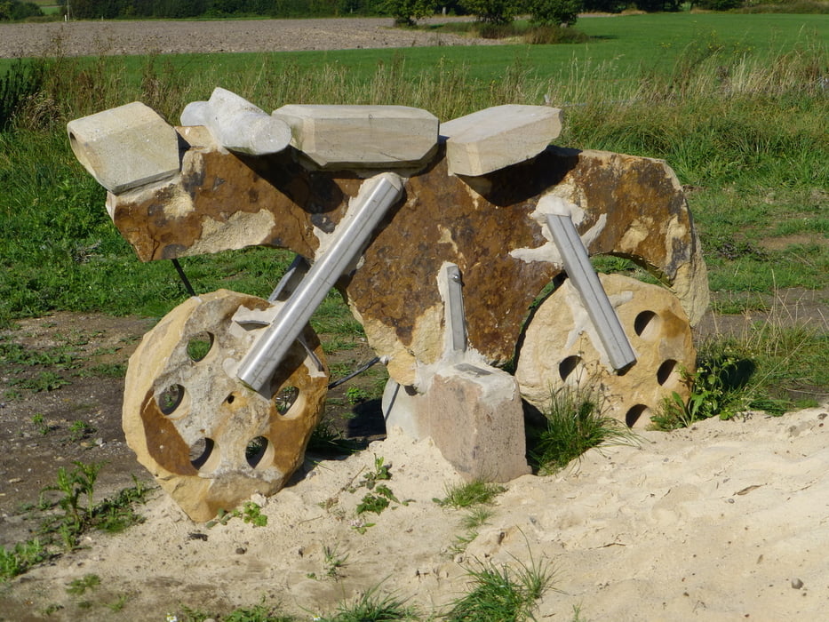
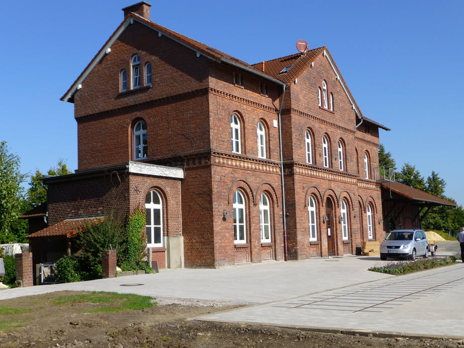
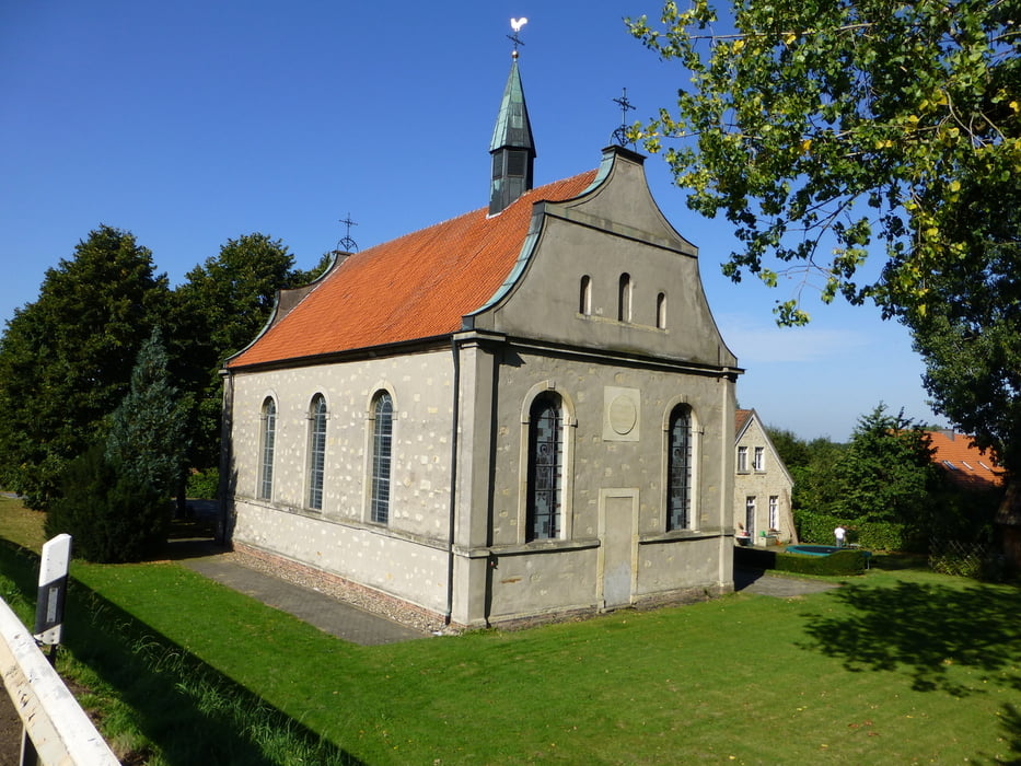
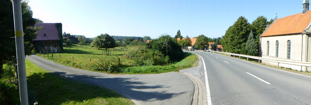
 

Tour gallery

Tour map and elevation profile

  • Open Street Map
  • Google
Minimum height 72 m Maximum height 164 m Detailed view

More about the tour author

arteus
Member since 2009

Send private message

Comments

Start und Ziel Marienburg / E-Center Coesfeld


GPS tracks

Trackpoints
  • GPX / Garmin Map Source (gpx) download
  • TCX / Garmin Training Center® (tcx) download
  • CRS / Garmin Training Center® (crs) download
  • Google Earth (kml) download
  • G7ToWin (g7t) download
  • TTQV (trk) download
  • Overlay (ovl) download
  • Fugawi (txt) download
  • Kompass (DAV) Track (tk) download
  • Track data sheet (pdf) download
  • Original file of the author (gpx) download

More about the tour author

arteus
Member since 2009

Send private message
Share track
Add to my favorites
Remove from my favorites
Edit tags
My score
Rate
Track: RadBahn Münsterland Coe - Höpingen
Type: Trekkingbike
Distance: 41,0 km
Evaluated on:
Duration:
Day(s)
Hour(s)
Minute(s)
Score: Landscape Fun factor Fitness Technique