


Die Tour ist eine der Paradetouren der Alpen. Mithalten können nur Fünfsternewanderungen in der Preislage von „Schynige Platte – Faulhorn - First“ im Berner Oberland und ähnliches. Bei Fernsicht blickt man weit in die Gletscher des Wallis hinein. Aber auch bei Wolken ist die Tour sehr reizvoll, da man dann nur mit einem guten Dutzend weiterer Wanderer läuft. Es gibt ein Kombiticket (Bergbahn Monte Tamaro hinauf, Bergbahn Monte Lema hinab, mit dem Kleinbus zur Talstation Monte Tamaro zurück). 2012 kostet dies 51 CHF p.P.. Das Ganze funktioniert auch in umgekehrter Richtung.
Further information at
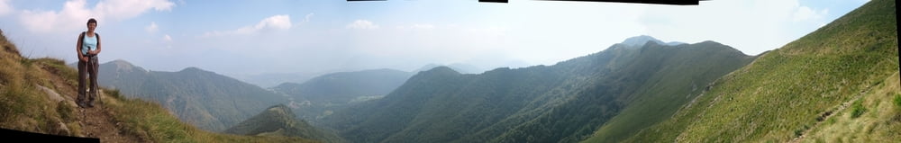
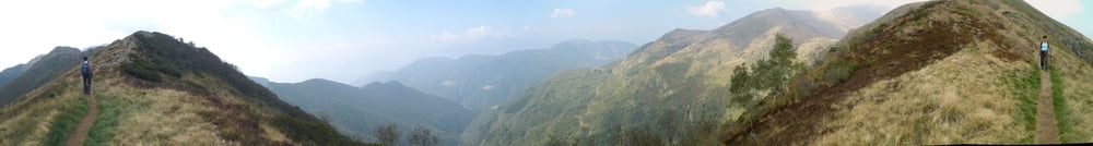
http://www.ascona-locarno.com/de/Tour gallery

Tour map and elevation profile
Minimum height 1491 m
Maximum height 1955 m
More about the tour author
|
|
Saxoniaradler |
Comments

Aus Deutschland kommend fährt man am besten durch den San Bernardino-Tunnel und bezahlt dann Autobahnmaut in Austria und in der Schweiz, aber das Benzin ist halt viel billiger ….!! Für Camper am Waldbad in Freiberg ist es eh ein bisschen weit!? ;-)
GPS tracks
Trackpoints-
GPX / Garmin Map Source (gpx) download
-
TCX / Garmin Training Center® (tcx) download
-
CRS / Garmin Training Center® (crs) download
-
Google Earth (kml) download
-
G7ToWin (g7t) download
-
TTQV (trk) download
-
Overlay (ovl) download
-
Fugawi (txt) download
-
Kompass (DAV) Track (tk) download
-
Track data sheet (pdf) download
-
Original file of the author (gpx) download
More about the tour author
|
|
Saxoniaradler |
Add to my favorites
Remove from my favorites
Edit tags
Open track
My score
Rate