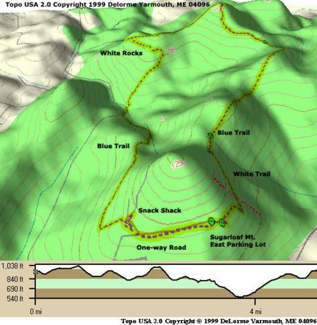
These trails are pretty fun single track. Not very much elevation, but the scenery is beautiful and it's pretty rocky. The park is privately owned, and is only open to mountain bikers at the whim of the owner. As of December 2001, biking is limited to weekdays only, from March to November. Check it out, but tread lightly.
Further information at
http://www.raidoh.comTour map and elevation profile
Minimum height 175 m
Maximum height 339 m
Comments

From I-270, take 109 South. Go right on Comus Road until it ends at the park.
GPS tracks
Trackpoints-
GPX / Garmin Map Source (gpx) download
-
TCX / Garmin Training Center® (tcx) download
-
CRS / Garmin Training Center® (crs) download
-
Google Earth (kml) download
-
G7ToWin (g7t) download
-
TTQV (trk) download
-
Overlay (ovl) download
-
Fugawi (txt) download
-
Kompass (DAV) Track (tk) download
-
Track data sheet (pdf) download
-
Original file of the author (g7t) download
Add to my favorites
Remove from my favorites
Edit tags
Open track
My score
Rate


