


Alleghe-Cencenighe-Falcade-(Seilbahn: Rif. Le Buse)-
Passo Valles-Malga Venegiota-Baita Segantini-Malga Fosse-
San Martino-Fiera di Primiero-Mezzano
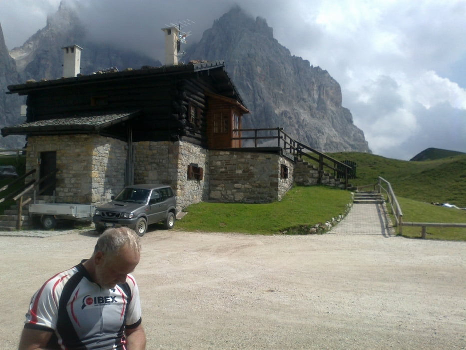
Zum 1. Mal eine Aufstiegshilfe in Anspruch genommen, es hat sich ausgezahlt.
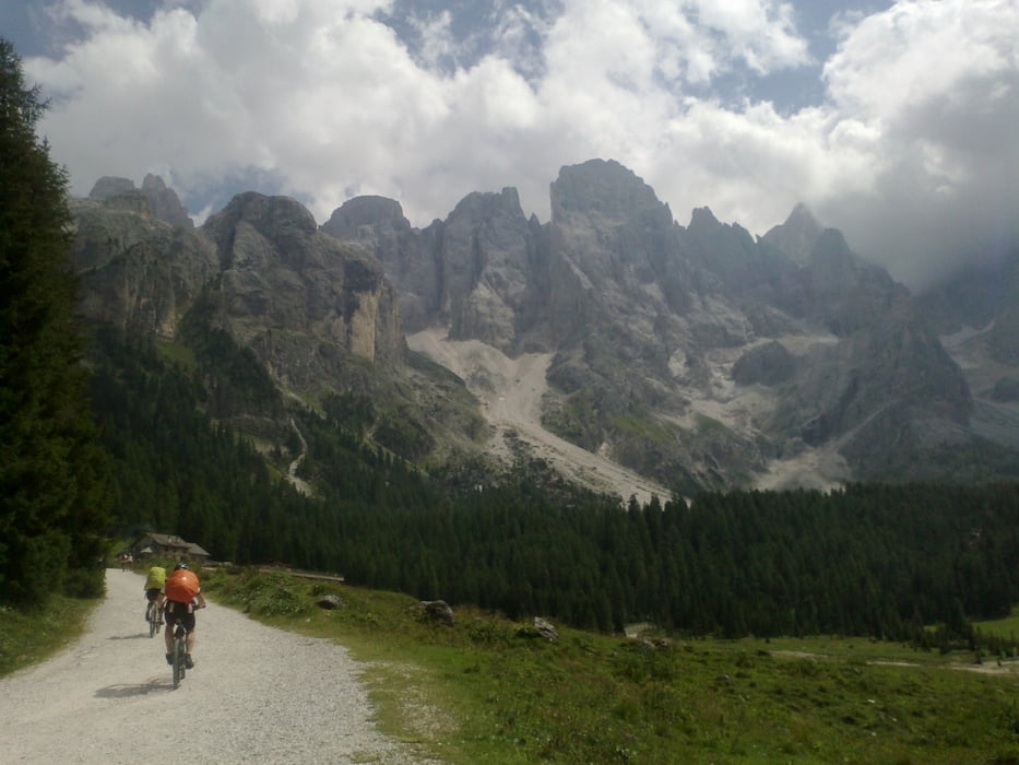
Sonst sehr lässige cruisige Tour. Netterweise "Susi und Oskar" wieder getroffen.
Hannes verloren: zu Fuß seine Singletrails abgegangen, unten wohlbehalten wiedergefunden.
In Fiera Schweizer Barista getroffen, der uns guten Tipp fürs Quartier in Mezzana gibt.
Sonst wärs extrem teuer geworden.
Tour gallery
Tour map and elevation profile
Minimum height 690 m
Maximum height 2171 m
More about the tour author
|
|
mitter |
Comments

Start in Alleghe überm See.
GPS tracks
Trackpoints-
GPX / Garmin Map Source (gpx) download
-
TCX / Garmin Training Center® (tcx) download
-
CRS / Garmin Training Center® (crs) download
-
Google Earth (kml) download
-
G7ToWin (g7t) download
-
TTQV (trk) download
-
Overlay (ovl) download
-
Fugawi (txt) download
-
Kompass (DAV) Track (tk) download
-
Track data sheet (pdf) download
-
Original file of the author (gpx) download
More about the tour author
|
|
mitter |
Add to my favorites
Remove from my favorites
Edit tags
Open track
My score
Rate