


Brühlertal - Fremersberg - Golfclub BAD - Katzenstein - Baden-Baden - Merkurturm - Rote Lache - Badener Höhe - Herrenwies - Mehliskopf - Hundseck - Untersmatt - Bühlertal
Alles was drin ist!!!
...ist da drin.
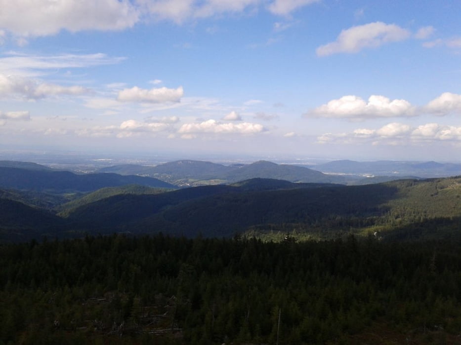
Auf und ab durch den Schwarzwald. Das muss man mal gemacht haben, einfach traumhaft durch diese Landschaft. Viele schöne Aussichtspunkte, abwechslungsreiche Strecke mit single trails, breite Forstwege, steile Abfahrten, einfach alles was drin ist......
Mein ausdrücklicher Dank geht an die zwei lokalen Tourguides !
:-)
Further information at
http://www.buehlertal.de/tourismus/radfahren/mountainbikingTour gallery

Tour map and elevation profile
Minimum height 159 m
Maximum height 1004 m
More about the tour author
|
|
messer1 |
Comments

Start der Tour ist im idyllischen Bühlertal. Als Ausgangspunkt eignet sich praktisch jeder Punkt des Ortes. Ich bin im Unteral nahe des Friedhofes gestartet.
Wer mit der Bahnanreisen will muss in Bühl starten, was nochmals ein paar Höhenmeter bzw. Kilometer extra bedeutet. Allerdings gehts zurück an den Bahnhof fast nur bergab, da sollten die Extrameter keine Rolle spielen.
GPS tracks
Trackpoints-
GPX / Garmin Map Source (gpx) download
-
TCX / Garmin Training Center® (tcx) download
-
CRS / Garmin Training Center® (crs) download
-
Google Earth (kml) download
-
G7ToWin (g7t) download
-
TTQV (trk) download
-
Overlay (ovl) download
-
Fugawi (txt) download
-
Kompass (DAV) Track (tk) download
-
Track data sheet (pdf) download
-
Original file of the author (gpx) download
More about the tour author
|
|
messer1 |
Add to my favorites
Remove from my favorites
Edit tags
Open track
My score
Rate