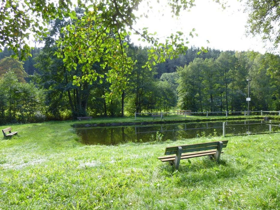
Meist naturbelassene und wassergebundene Wald-, Wiesen- und Feldwege sowie kurze Abschnitte asphaltierte, wenig befahrene Nebenstraßen. Streckenweise wird der Fernwanderweg Eisenach – Budapest begangen. Bei dieser Variante werden asphaltierte Wanderwege weitestgehend gemieden und stattdessen nicht markierte Wege genutzt.
Ausführliche Beschreibung in http://www.wolf-klepzig.de/hp/wandg/Leubetha-EB-Marieney-Muehleithe-Leubetha_9_9km.pdf. Weitere Informationen an den Wegpunkten (Parken, Wegweiser, Bänke, Fotos zur Wegbeschaffenheit).
Further information at
http://www.wolf-klepzig.de/hp/wandern.htmTour gallery
Tour map and elevation profile
Comments

Anfahrt:
Von A72 bis Ausfahrt 6, Plauen-Süd auf B92/E49 in Richtung Bad Brambach/Bad Elster/Oelsnitz i.V. > nach 15 km von B92 links Richtung Leubetha abbiegen auf K7842 Hermsgrüner Straße.
Zieleingabe für Routenplaner Am Hammerberg, 08626 Adorf/Vogtland oder die Parkkoordinaten N50 20 53.3 E12 14 43.1, bei GoogleEarth und Google Maps ohne die Einheiten für Grad, Minute und Sekunde.
Parken:
Nach der zweiten Bachbrücke neben der Straße vor den Glascontainern, Koordinaten N50 20 53.3 E12 14 43.1 oder, falls dort besetzt ist, auf der Wiese am Abzweig zum Feuerlöschteich, dem ehemaligen Bad, Koordinaten N50 21 02.2 E12 15 02.9.
GPS tracks
Trackpoints-
GPX / Garmin Map Source (gpx) download
-
TCX / Garmin Training Center® (tcx) download
-
CRS / Garmin Training Center® (crs) download
-
Google Earth (kml) download
-
G7ToWin (g7t) download
-
TTQV (trk) download
-
Overlay (ovl) download
-
Fugawi (txt) download
-
Kompass (DAV) Track (tk) download
-
Track data sheet (pdf) download
-
Original file of the author (gpx) download


