


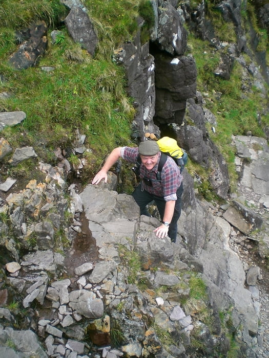
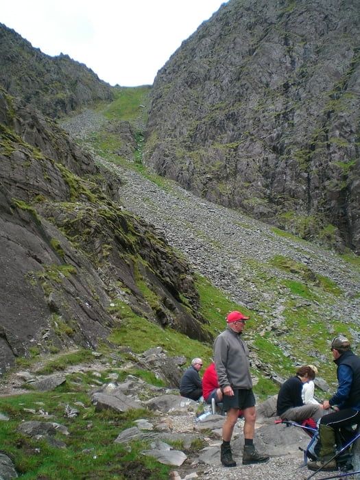
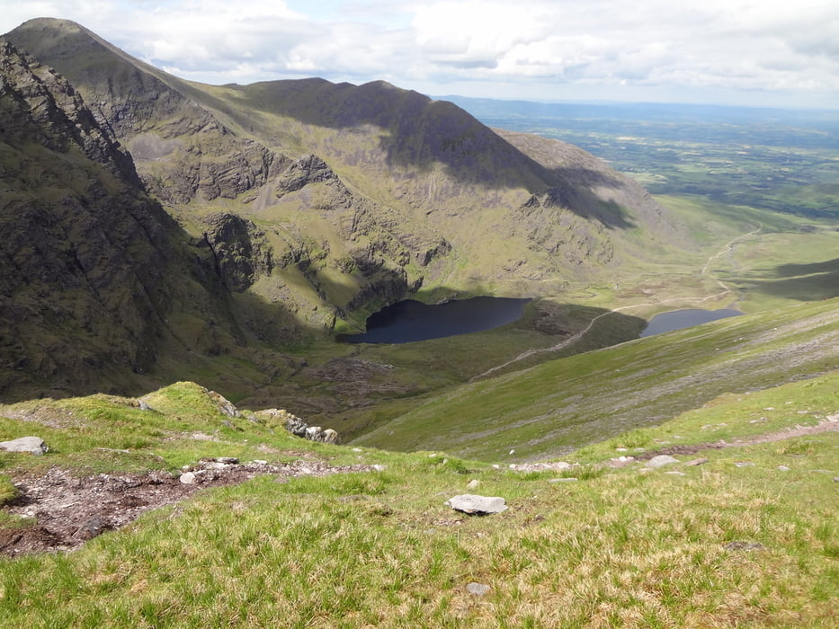
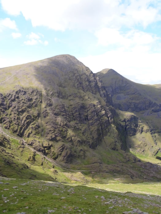
Bergtour auf den höchsten Berg Irlands. Startpunkt ist an Cronins Yard. Hier gibt es Parkplätze und auch einen kleinen Coffee Shop. Von hier zunächst auf einem breiten Weg ansteigend auf den Talschluß zu wandern. Hier ist schon von weitem die Devils Ladder zu sehen, die eine andere Aufstiegsroute zum Carrauntoohil ist. Bevor der breite Weg den Bach kreuzt folgen wir rechts einem schmalen Pfad der zum O´Sheas Gully führt. Auf dem Weg dahin sind zwei kleine Kletterpassagen (die Rock Steps - nichts schwieriges) zu überwinden. Hinter dem kleinen Bergsee Lough Cummeenougther geht es dann steil aufwärts durch O´Shaes Gully, an dessen oberem Ende der Kamm zwischen Carrauntoohil und Beenkeragh erreicht wird (900m Höhe). Links geht es weiter zum Gipfel des Carrauntoohil. Vom Gipfel steigen wir auf dem Hauptweg zur Devils Ladder ab, gehen dann aber weiter zum nächsten Gipfel dem Cnoc na Toinne. Hier beginnt ein schmaler Zick Zag Pfad der uns wieder hinunter ins Tal auf den Hauptweg zurückbringt. Dem Hauptweg folgen wir talabwärts, zwischen Lough Gouragh und Lough Callee hindurch zurück zum Cronins Yard.
Tour gallery
Tour map and elevation profile
Minimum height 119 m
Maximum height 1028 m
More about the tour author

|
Millstreetman |
Comments

GPS tracks
Trackpoints-
GPX / Garmin Map Source (gpx) download
-
TCX / Garmin Training Center® (tcx) download
-
CRS / Garmin Training Center® (crs) download
-
Google Earth (kml) download
-
G7ToWin (g7t) download
-
TTQV (trk) download
-
Overlay (ovl) download
-
Fugawi (txt) download
-
Kompass (DAV) Track (tk) download
-
Track data sheet (pdf) download
-
Original file of the author (gpx) download
More about the tour author
|
|
Millstreetman |
Add to my favorites
Remove from my favorites
Edit tags
Open track
My score
Rate