


Sehr schöne, empfehlendswerte Rundtour mit herrlichem DH zum Abschluss!
Die Tour führt anfangs über Asphalt bergauf bis zum Ortseingang Pian dei Pradi, ab hier geht es links einen kleinen Pfad kurz hinauf bis zu einem Weiler. Von da ab eigentlich nur noch sehr schöne Waldtrails und Forststraßen in Abwechslung.
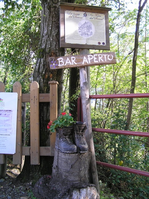
Und, ja so muss es sein - das Beste zum Schluss. Der DH zum Abschluss ist etwas versteckt und leicht zu übersehen. Also, Augen auf zum Ende hin...
Die Tour heißt im Valsugana: Giro delle Antiche Tradizioni
Tour gallery
Tour map and elevation profile
Minimum height 484 m
Maximum height 1092 m
More about the tour author

|
GhostRider6666 |
Comments

GPS tracks
Trackpoints-
GPX / Garmin Map Source (gpx) download
-
TCX / Garmin Training Center® (tcx) download
-
CRS / Garmin Training Center® (crs) download
-
Google Earth (kml) download
-
G7ToWin (g7t) download
-
TTQV (trk) download
-
Overlay (ovl) download
-
Fugawi (txt) download
-
Kompass (DAV) Track (tk) download
-
Track data sheet (pdf) download
-
Original file of the author (gpx) download
More about the tour author
|
|
GhostRider6666 |
Add to my favorites
Remove from my favorites
Edit tags
Open track
My score
Rate