


Start: Lusenparkplatz Waldhausreibe
Ziel: Gfällparkplatz unter´m Rachel
Tourenbeschreibung folgt in Kürze
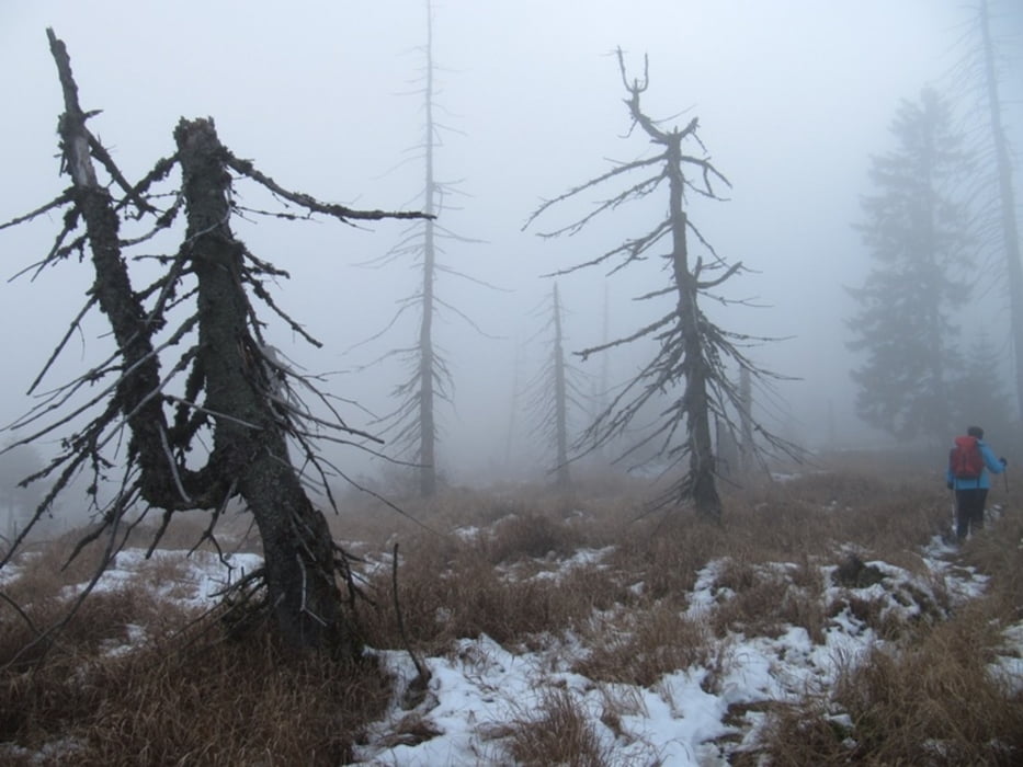
Tour gallery


Tour map and elevation profile
Minimum height 952 m
Maximum height 1441 m
More about the tour author
|
|
waldaugen |
Comments

Mit der Waldbahn oder dem Pkw nach Spiegelau.
von dort fahren in der Sommersaison Igelbusse.
Auf der Hinfahrt: Rachelbus bis Diensthüttenstraße und dann Lusenbus bis Lusenparkplatz
Auf der Rückfahrt Rachelbus vom Gfällparkplatz alle 30 Min.
In der Wintersaison ab 3.11. verkehren keine Busse. Die gennannten Parkplätze können dann auch mit dem Pkw angefahren werden.
GPS tracks
Trackpoints-
GPX / Garmin Map Source (gpx) download
-
TCX / Garmin Training Center® (tcx) download
-
CRS / Garmin Training Center® (crs) download
-
Google Earth (kml) download
-
G7ToWin (g7t) download
-
TTQV (trk) download
-
Overlay (ovl) download
-
Fugawi (txt) download
-
Kompass (DAV) Track (tk) download
-
Track data sheet (pdf) download
-
Original file of the author (gpx) download
More about the tour author
|
|
waldaugen |
Add to my favorites
Remove from my favorites
Edit tags
Open track
My score
Rate