Login

Forgotten password?

Cookies have to be accepted!
Your browser's cookie functionality is disabled. Please enable this functionality.

Not a member yet?

Register now
Login

Available for registred users only

Log in to use this feature.

Forgotten password?

Cookies have to be accepted!
Your browser's cookie functionality is disabled. Please enable this functionality.

Not a member yet?

Register now
Filter
Categories
Advanced filters
  • Distance (km)
  • Height
Save filters Reset filter

TrackRank

QRCode

Technical data

Distance10,4 km Height209 m Way down207 m Duration02:30 h:m Date06.11.2012
Scores Author User Landscape Fun factor Fitness Technique

Statistics

1908 Views 1 Score 36 Downloads 4.00 Average
Rate
  • Track data sheet
  • Directions
  • Downloads

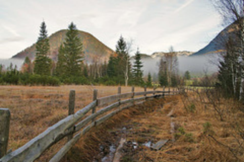
Die 10,4 Kilometer lange Erlebniswanderung führt dich zu den Info-Plattformen Torfstich, Hochmoor, Karstquellen Strumern, Ödensee, Wald und Moor. Der ca. 5 Kilometer lange Abstecher zu den Karstquellen Strumern ist vor allem im Frühjahr nach der Schneeschmelze interessant. Im Herbst fließt dort das Wasser nämlich nur nach regenreichen Tagen. Mit insgesamt 209 Höhenmetern ist die Tour nicht schwierig und für die ganze Familie geeignet.

Weitere Infos und Fotos findest du auf biketours4you.at

Tour gallery

Tour map and elevation profile

  • Open Street Map
  • Google
Minimum height 767 m Maximum height 837 m Detailed view

More about the tour author

Trek1400d
Member since 2008

Send private message

Comments

dromus on 05.01.2013

Hinterberger Tal

Diese Tour gehört zu allen Jahreszeiten und in vielen Variationen sowie bei jedem Wetter zu unserem Standardprogramm von Bad Mitterndorf aus.Wir geniessen hier jedes Mal die einzigartige Landschaft des Hinterberger Tales.
Vielen Dank Leo für Deine schönen Touren
Horst

GPS tracks

Trackpoints
  • GPX / Garmin Map Source (gpx) download
  • TCX / Garmin Training Center® (tcx) download
  • CRS / Garmin Training Center® (crs) download
  • Google Earth (kml) download
  • G7ToWin (g7t) download
  • TTQV (trk) download
  • Overlay (ovl) download
  • Fugawi (txt) download
  • Kompass (DAV) Track (tk) download
  • Track data sheet (pdf) download
  • Original file of the author (gpx) download

More about the tour author

Trek1400d
Member since 2008

Send private message
Share track
Add to my favorites
Remove from my favorites
Edit tags
My score
Rate
Track: Ödensee - Hochmoor
Type: Hiking
Distance: 10,4 km
Evaluated on:
Duration:
Day(s)
Hour(s)
Minute(s)
Score: Landscape Fun factor Fitness Technique