


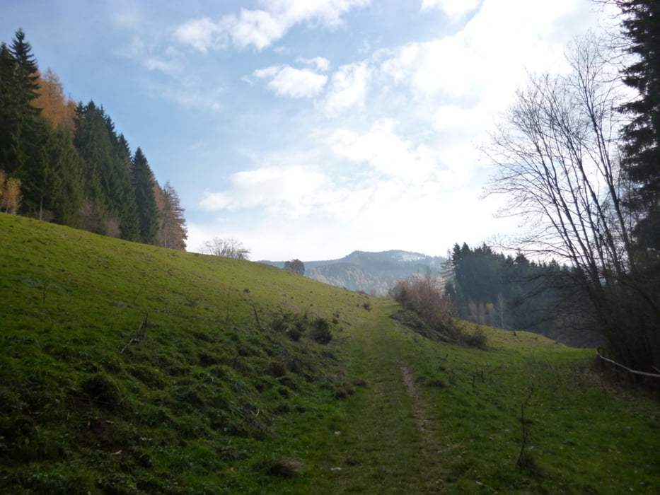
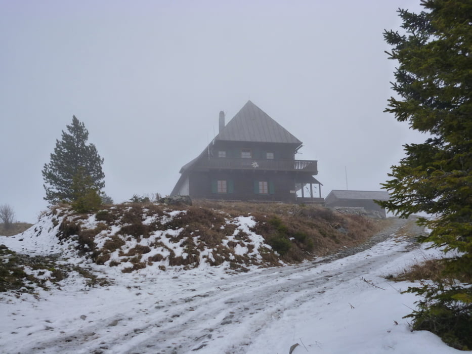
Start im Glanzergraben nahe eines Bauernhofes, wo die Wanderroute 712 beginnt; durch Wald bei gelegentlicher schöner Aussicht auf das Murtal stetig bergan, nach 1 Stunde Huttererhütte, dann kurzes Stück Forstweg, danach durch Wald etwas steiler, Reststück bis Gipfel Forststraße
Tour gallery
Tour map and elevation profile
Minimum height 744 m
Maximum height 1631 m
More about the tour author

|
manolf80 |
Comments

Bruck an der Mur, den Tafel Richtung Pischkberg/Übelstein folgend, nach einer Unterführung scharf rechts der Pischkstraße entlang bis zum Gehöft
GPS tracks
Trackpoints-
GPX / Garmin Map Source (gpx) download
-
TCX / Garmin Training Center® (tcx) download
-
CRS / Garmin Training Center® (crs) download
-
Google Earth (kml) download
-
G7ToWin (g7t) download
-
TTQV (trk) download
-
Overlay (ovl) download
-
Fugawi (txt) download
-
Kompass (DAV) Track (tk) download
-
Track data sheet (pdf) download
-
Original file of the author (gpx) download
More about the tour author
|
|
manolf80 |
Add to my favorites
Remove from my favorites
Edit tags
Open track
My score
Rate