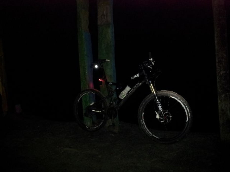
Kurze Trainingsrunde durch den Grafenwald und Bottrop inkl. Halde Haniel.
Nachdem bekannt wurde, dass sich momentan Wildschweine auf der Halde tümmeln sollen wollte ich mir diese mal ansehen. Jedoch wurden keine gesichtet :-(
Tour gallery
Tour map and elevation profile
Minimum height 39 m
Maximum height 192 m
Comments

Einsteigen kann man überall. Evtl. an der Halde Haniel oder Grafenmühle
GPS tracks
Trackpoints-
GPX / Garmin Map Source (gpx) download
-
TCX / Garmin Training Center® (tcx) download
-
CRS / Garmin Training Center® (crs) download
-
Google Earth (kml) download
-
G7ToWin (g7t) download
-
TTQV (trk) download
-
Overlay (ovl) download
-
Fugawi (txt) download
-
Kompass (DAV) Track (tk) download
-
Track data sheet (pdf) download
-
Original file of the author (gpx) download
Add to my favorites
Remove from my favorites
Edit tags
Open track
My score
Rate


