


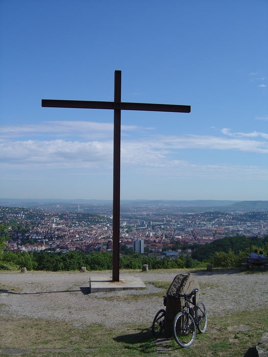
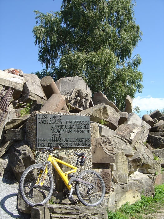
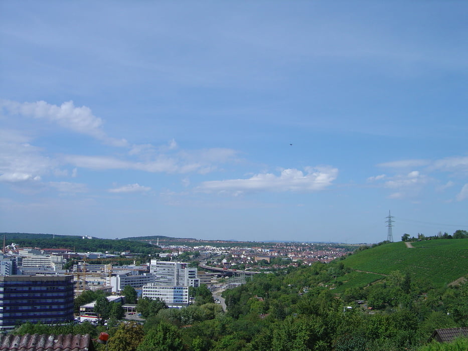
Runde beginnend und endend am Holzgerlinger Bahnhof. Führt - am Birkenkopf vorbei - den Rössleweg entlang und bietet viele schöne Blicke auf Stuttgart aus dem einen oder anderen vielleicht noch unbekannten Winkel. Es gibt entlang der Tour viele Einkehrmöglichkeiten und auch "Notausstiege".
Tour gallery
Tour map and elevation profile
Minimum height 220 m
Maximum height 533 m
More about the tour author

|
v_finch |
Comments

Per Auto oder Bahn an den Bahnhof in Holzgerlingen (Parkmöglichkeiten sind i.d.R. gegeben). Andererseits wäre auch ein Start an der Rohrer Höhe durchaus denkbar.
GPS tracks
Trackpoints-
GPX / Garmin Map Source (gpx) download
-
TCX / Garmin Training Center® (tcx) download
-
CRS / Garmin Training Center® (crs) download
-
Google Earth (kml) download
-
G7ToWin (g7t) download
-
TTQV (trk) download
-
Overlay (ovl) download
-
Fugawi (txt) download
-
Kompass (DAV) Track (tk) download
-
Track data sheet (pdf) download
-
Original file of the author (gpx) download
More about the tour author
|
|
v_finch |
Add to my favorites
Remove from my favorites
Edit tags
Open track
My score
Rate