


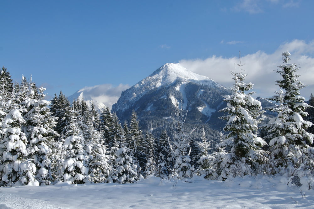
Die Schneeschuhtour in Pyhrn durch den Lexgraben auf die Hintereggeralm ist 9,2 km lang und mit 436 Höhenmetern mittelschwer. Schon auf dem Weg zur Hintereggeralm gibt es sehr schöne Aussichtspunkte nach Oberösterreich hinüber zum Bosruck und Großen Pyhrgas. Der Ausgangspunkt an der Landesgrenze zwischen der Steiermark und Oberösterreich ist ganz leicht über die B138 der Pyhrnpass-Bundesstraße erreichbar. Neben der Bundesstraße und ein paar hundert Meter weiter direkt beim Start der Rodelbahn gibt es ca. 30 Parkplätze.
Weitere Infos und Fotos findest du auf biketours4you.at
Tour gallery
Tour map and elevation profile
Minimum height 889 m
Maximum height 1279 m
More about the tour author
|
|
Trek1400d |
Comments

GPS tracks
Trackpoints-
GPX / Garmin Map Source (gpx) download
-
TCX / Garmin Training Center® (tcx) download
-
CRS / Garmin Training Center® (crs) download
-
Google Earth (kml) download
-
G7ToWin (g7t) download
-
TTQV (trk) download
-
Overlay (ovl) download
-
Fugawi (txt) download
-
Kompass (DAV) Track (tk) download
-
Track data sheet (pdf) download
-
Original file of the author (gpx) download
More about the tour author
|
|
Trek1400d |
Add to my favorites
Remove from my favorites
Edit tags
Open track
My score
Rate