Login

Forgotten password?

Cookies have to be accepted!
Your browser's cookie functionality is disabled. Please enable this functionality.

Not a member yet?

Register now
Login

Available for registred users only

Log in to use this feature.

Forgotten password?

Cookies have to be accepted!
Your browser's cookie functionality is disabled. Please enable this functionality.

Not a member yet?

Register now
Filter
Categories
Advanced filters
  • Distance (km)
  • Height
Save filters Reset filter

TrackRank

QRCode

Technical data

Distance9,5 km Height388 m Way down965 m Duration03:00 h:m Date28.09.2007
Scores Author Landscape Fun factor Fitness Technique

Statistics

902 Views Scores 220 Downloads Average
Rate
  • Track data sheet
  • Directions
  • Downloads
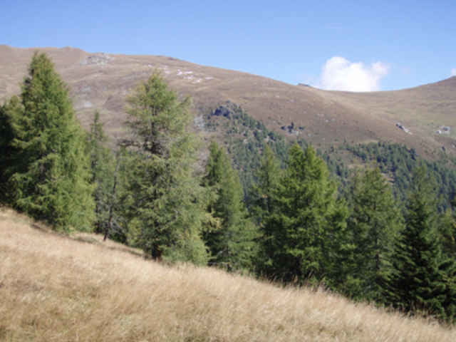
Ausgehend von der Bergstation der Nationalparkbahn Brunnachalmbahn beginnt der Kammweg Richtung Mallnock Gipfel. Nach der "Eroberung" des Gipfels geht es durch nahezu unberührter Natur und einsamen Wegen immer talabwärts Richtung Talstation der Nationalparkbahn Brunnachalmbahn.

Tour gallery

Tour map and elevation profile

  • Open Street Map
  • Google
Minimum height 1336 m Maximum height 2230 m Detailed view

More about the tour author

airaviation
Member since 2006

Send private message

Comments

Mit dem PKW bzw mit dem Postbus bis zum Parkplatz der Nationalparkbahn Brunnachalmbahn in St.Oswald.

GPS tracks

Trackpoints
  • GPX / Garmin Map Source (gpx) download
  • TCX / Garmin Training Center® (tcx) download
  • CRS / Garmin Training Center® (crs) download
  • Google Earth (kml) download
  • G7ToWin (g7t) download
  • TTQV (trk) download
  • Overlay (ovl) download
  • Fugawi (txt) download
  • Kompass (DAV) Track (tk) download
  • Track data sheet (pdf) download
  • Original file of the author (g7t) download

More about the tour author

airaviation
Member since 2006

Send private message
Share track
Add to my favorites
Remove from my favorites
Edit tags
My score
Rate
Track: Mallnockrunde
Type: Hiking
Distance: 9,5 km
Evaluated on:
Duration:
Day(s)
Hour(s)
Minute(s)
Score: Landscape Fun factor Fitness Technique