
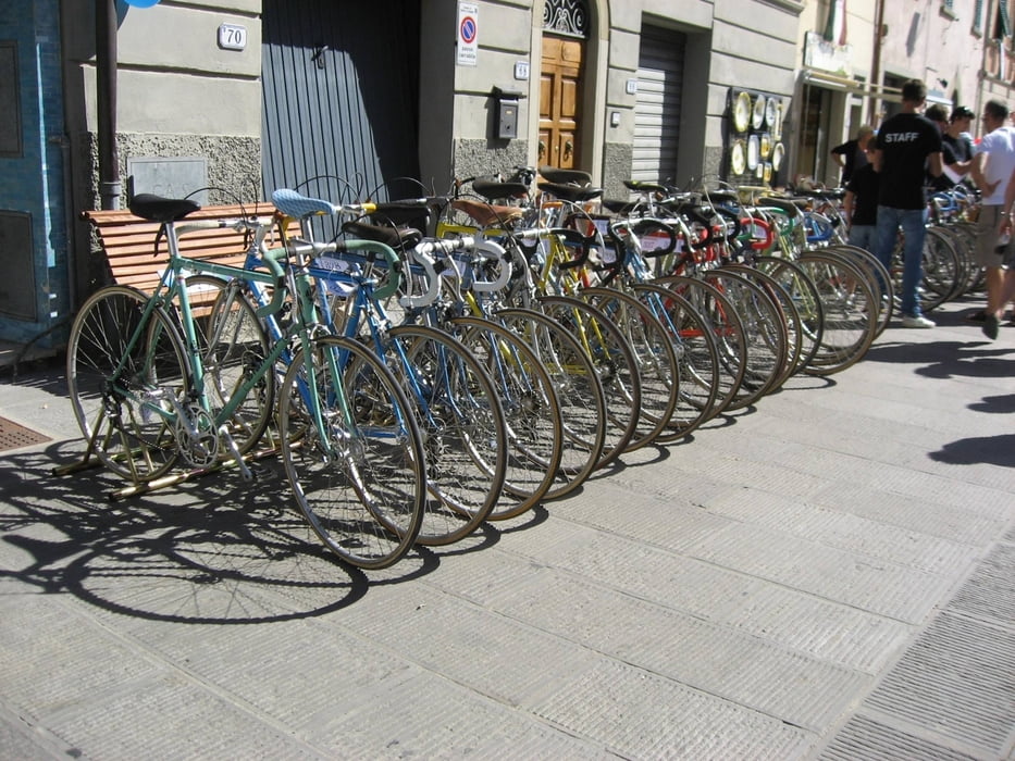

Ausgehend vom verträumten Dorf Gaiole in Chianti geht diese Rennradveranstaltung für historische Rennräder mit Baudatum vor 1987.
4 Streckenlängen stehen zur Auswahl: 35km, 75km, 135km und 205km.
Für das leibliche Wohl ist bei den Labestationen (ca. alle 50km) gesorgt. Rotwein und regionale Köstlichkeiten erfreuen das Herz.
Beinahe 2300hm machen diese Tour zumindest für Flachlandindianer zur Härteprobe. Für die große 205km Runde kann man mit über 3000hm kalkulieren.
Aufgrund des Schotteranteils von knapp 60%, sollte gute Bereifung gewählt werden. Schlauchreifen sind sicher nicht die beste Wahl. Auch die Bremsen, der in die Tage gekommenen Renner sollten bei Rennantritt gut in Schuss sein.
Eine absolut empfehlenswerte Reise in die Mitvergangenheit. Für Untrainierte jedoch sicher eine größere Aufgabe. Reisen Sie unbedingt am Vortag an und geniesen Sie die Atmosphäre, die Landschaft und das toskanische Flair.
Further information at
http://www.eroicafan.it/index.php?lang=itTour gallery


Tour map and elevation profile
Minimum height 143 m
Maximum height 524 m
More about the tour author
|
|
patrasch73rs |
Comments

Rund um den Startbereich sind zahlreiche Wiesen, die als Parkplätze verwendet werden. In Gaiole gibt es auch einen Campingplatz.
GPS tracks
Trackpoints-
GPX / Garmin Map Source (gpx) download
-
TCX / Garmin Training Center® (tcx) download
-
CRS / Garmin Training Center® (crs) download
-
Google Earth (kml) download
-
G7ToWin (g7t) download
-
TTQV (trk) download
-
Overlay (ovl) download
-
Fugawi (txt) download
-
Kompass (DAV) Track (tk) download
-
Track data sheet (pdf) download
-
Original file of the author (tcx) download
More about the tour author
|
|
patrasch73rs |
Add to my favorites
Remove from my favorites
Edit tags
Open track
My score
Rate