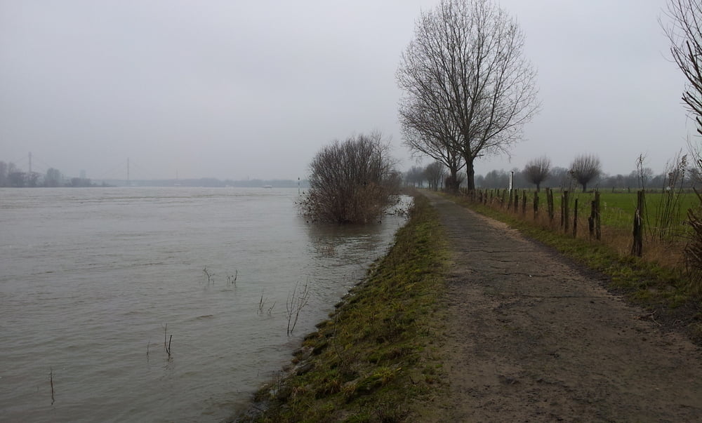
Schöner Sonntagsspaziergang am Rhein in Duisburg-Baerl auch bei schlechtem Wetter und ohne nennenswerte Steigungen. Vom Parkplatz Haus Rheinblick den Uferweg flussabwärts, dann links nach Baerl und durch das über tausendjährige Dorf, dahinter über Deich und Wiesen sowie den Uferweg wieder zurück.
Tour gallery
Tour map and elevation profile
Minimum height 15 m
Maximum height 33 m
Comments

Über die A42 Ausfahrt Baerl in das Dorf und rechts zum Haus Rheinblick, hier kostenfreie Parkplätze.
GPS tracks
Trackpoints-
GPX / Garmin Map Source (gpx) download
-
TCX / Garmin Training Center® (tcx) download
-
CRS / Garmin Training Center® (crs) download
-
Google Earth (kml) download
-
G7ToWin (g7t) download
-
TTQV (trk) download
-
Overlay (ovl) download
-
Fugawi (txt) download
-
Kompass (DAV) Track (tk) download
-
Track data sheet (pdf) download
-
Original file of the author (gpx) download
Add to my favorites
Remove from my favorites
Edit tags
Open track
My score
Rate


