


Bis auf ein kurzes Steilstück, unterhalb des Gospeneider Sattels, einfache Schneeschuhtour.
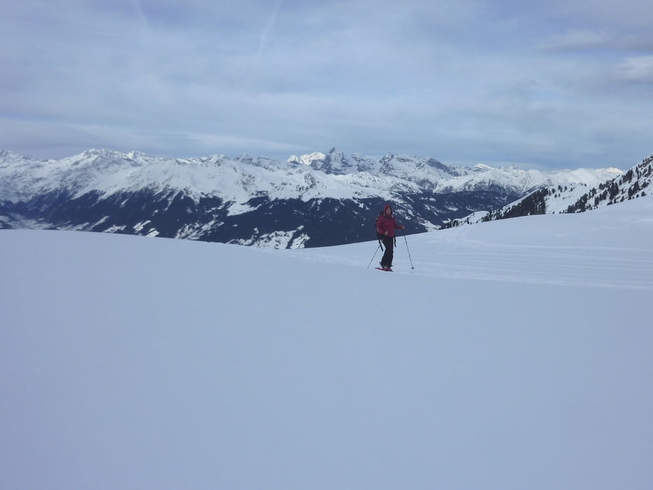
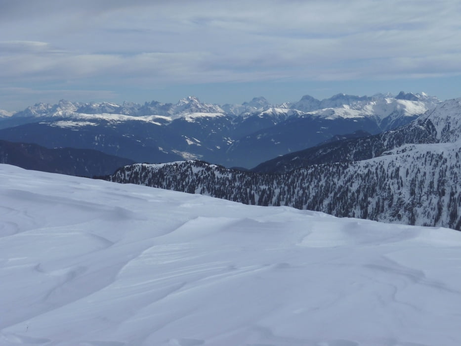
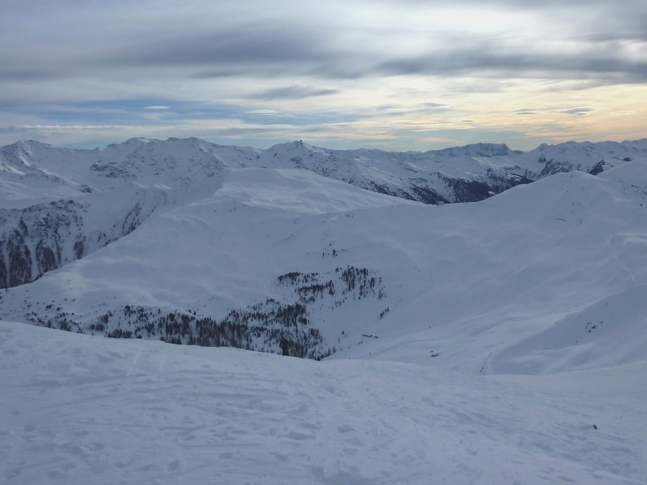
Vom Wieslhof 1400 m geht man den Forstweg ins Gospeneider Tal hinein, anfangs flach dann steil über einen Karrenweg bis das Gelände sich öffnet. Nun hält man sich links und steigt über schöne, mäßig steile Hänge bis in einen Kessel unter einem Sattel hinauf. In einer Rechtsschleife auf das Gospeneider Jöchl (2303 m). Links über einen breiten Rücken zum Gipfel (2422 m) mit Gipfelkreuz und tollen Rundblick.
Abstieg wie Aufstieg
Landkarte: Tabacco Nr. 038
Einkehrmöglichkeit: Unterwegs keine
Further information at
http://www.suedtirolerland.it/de/urlaubsziele-in-suedtirol/eisacktal-wipptal/ratschings/jaufental/Tour gallery

Tour map and elevation profile
Minimum height 1359 m
Maximum height 2425 m
More about the tour author
|
|
Califan |
Comments

Autobahnausfahrt Sterzing beim KV lx über Gasteig ins Jaufental (nicht Jaufenpass!!!) bis kurz vor Mittertal (Bushaltestelle) lx eine Straße abzweigt der wir in mehreren Kehren bis zum Wiesl Hof folgen. Begrenzte Parkmöglichkeit.
GPS tracks
Trackpoints-
GPX / Garmin Map Source (gpx) download
-
TCX / Garmin Training Center® (tcx) download
-
CRS / Garmin Training Center® (crs) download
-
Google Earth (kml) download
-
G7ToWin (g7t) download
-
TTQV (trk) download
-
Overlay (ovl) download
-
Fugawi (txt) download
-
Kompass (DAV) Track (tk) download
-
Track data sheet (pdf) download
-
Original file of the author (gpx) download
More about the tour author
|
|
Califan |
Add to my favorites
Remove from my favorites
Edit tags
Open track
My score
Rate