


Schöne Sonntagnachmittagstour.
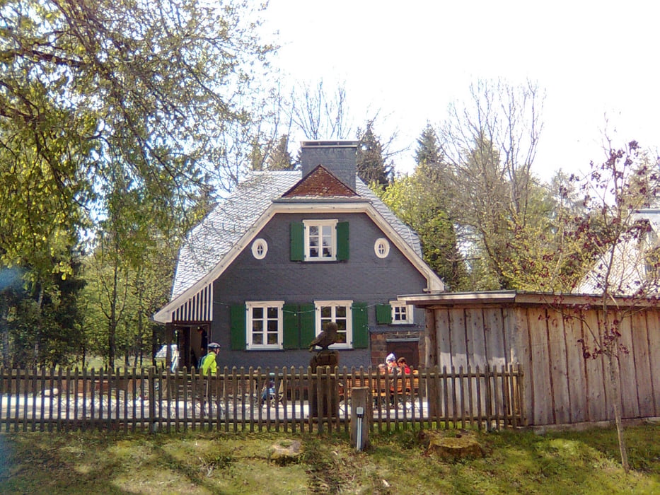
Anfahrtziel ist das Forsthaus Hohenroth, dort sind jede Menge Parkplätze vorhanden.
Man kann diese Runde in jede Richtung beginnen, jedoch bevorzuge ich die Richtung direkt runter zum Forsthaus.
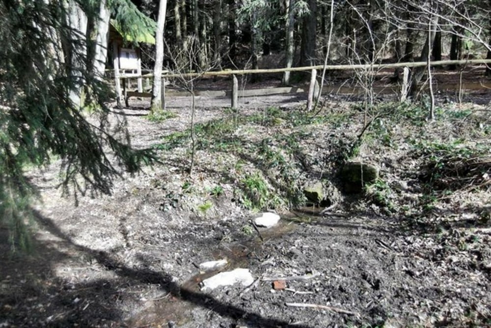
Von dort aus geht es ein wenig Richtung Obernau, dann rechts zu Krämers Wiese, weiter am Berg entlang über Sohlbach bis kurz vor Siedlung Lützel.Dort queren wir die Eisenstraße weiter bis 3 Fichten, dort rechts hinauf an einem Feuchtbiotop vorbei zur Ederquelle.
(wer dann noch mag, kann von dort den Schildern "Kyrrill-Pfad" folgen, einem Pfad, der nach dem Orkan angelegt wurde und in dem der Wald in "Zerstörtem Zustand" belassen wurde.)
Von dort ist es nicht mehr weit zum Parkplatz.Empfehle aber nochmals hinunter zum Forsthaus zu gehen und einen Kaffee und ein ordentliches Stück Kuchen zu verzehren.(Qualität "Empfehlenswert")
Diese Rundtour hat ca. 9 km und 200hm, und ist sicher von "fast" jedem in etwa 2 Stunden ohne Überanstrengung in frischer Luft zu bewältigen.Die Wege sind ordentlich befestigt, sodaß man diese Strecke auch ohne Weiteres in Alltagsschuhen bewältigen kann.
Viel Spaß
Tour gallery
Tour map and elevation profile
Minimum height 534 m
Maximum height 653 m
More about the tour author
|
|
Yetie |
Comments

Anfahrt vom Siegerland Kronprinzeneiche oder von der Siegquelle jeweils Richtung Eisenstrasse.
In Höhe Forsthaus Hohenroth sind rechts und links der Straße genügend Parkplätze vorhanden.
GPS tracks
Trackpoints-
GPX / Garmin Map Source (gpx) download
-
TCX / Garmin Training Center® (tcx) download
-
CRS / Garmin Training Center® (crs) download
-
Google Earth (kml) download
-
G7ToWin (g7t) download
-
TTQV (trk) download
-
Overlay (ovl) download
-
Fugawi (txt) download
-
Kompass (DAV) Track (tk) download
-
Track data sheet (pdf) download
-
Original file of the author (gpx) download
More about the tour author
|
|
Yetie |
Add to my favorites
Remove from my favorites
Edit tags
Open track
My score
Rate