


Hard bis Weißfluhalpe ca. 2h 45 min
Weißfluhalpe bis Hard ca. 1h 30 min
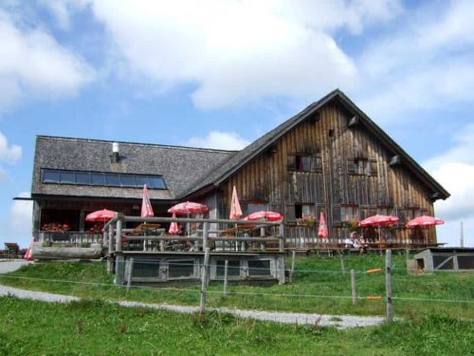
Schöne Einkehrmöglichkeit Weißfluhalpe, sehr schöne Aussicht in alle Richtungen
Tour gallery
Tour map and elevation profile
Minimum height 388 m
Maximum height 1372 m
More about the tour author

|
obuechele |
Comments

GPS tracks
Trackpoints-
GPX / Garmin Map Source (gpx) download
-
TCX / Garmin Training Center® (tcx) download
-
CRS / Garmin Training Center® (crs) download
-
Google Earth (kml) download
-
G7ToWin (g7t) download
-
TTQV (trk) download
-
Overlay (ovl) download
-
Fugawi (txt) download
-
Kompass (DAV) Track (tk) download
-
Track data sheet (pdf) download
-
Original file of the author (gpx) download
More about the tour author
|
|
obuechele |
Add to my favorites
Remove from my favorites
Edit tags
Open track
My score
Rate