Login

Forgotten password?

Cookies have to be accepted!
Your browser's cookie functionality is disabled. Please enable this functionality.

Not a member yet?

Register now
Login

Available for registred users only

Log in to use this feature.

Forgotten password?

Cookies have to be accepted!
Your browser's cookie functionality is disabled. Please enable this functionality.

Not a member yet?

Register now
Filter
Categories
Advanced filters
  • Distance (km)
  • Height
Save filters Reset filter

TrackRank

QRCode

Technical data

Distance4,7 km Height79 m Way down65 m Duration00:00 h:m Date03.02.2013
Scores Author Landscape Fun factor Fitness Technique

Statistics

223 Views Scores 4 Downloads Average
Rate
  • Track data sheet
  • Directions
  • Downloads

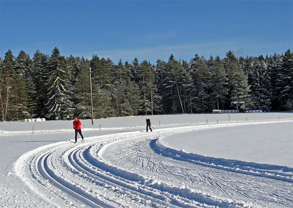
Kurze und einfache Runde über die Remsbachhöhe bei geringen Höhenunterschieden. Die Loipe ist als Skatingstrecke und klassisch gespurt.

Klassisch und Skating


Further information at

http://www.tennenbronn-web.de/inhalt/loipe.htm

Tour gallery

Tour map and elevation profile

  • Open Street Map
  • Google
Minimum height 790 m Maximum height 829 m Detailed view

More about the tour author

ugriess
Member since 2011

Send private message

Comments

Wanderparkplatz Remsbach beim Ferienpark oberhalb des Freibades

GPS tracks

Trackpoints
  • GPX / Garmin Map Source (gpx) download
  • TCX / Garmin Training Center® (tcx) download
  • CRS / Garmin Training Center® (crs) download
  • Google Earth (kml) download
  • G7ToWin (g7t) download
  • TTQV (trk) download
  • Overlay (ovl) download
  • Fugawi (txt) download
  • Kompass (DAV) Track (tk) download
  • Track data sheet (pdf) download
  • Original file of the author (gpx) download

More about the tour author

ugriess
Member since 2011

Send private message
Share track
Add to my favorites
Remove from my favorites
Edit tags
My score
Rate
Track: Auerhahnloipe
Type: Cross-country skiing
Distance: 4,7 km
Evaluated on:
Duration:
Day(s)
Hour(s)
Minute(s)
Score: Landscape Fun factor Fitness Technique