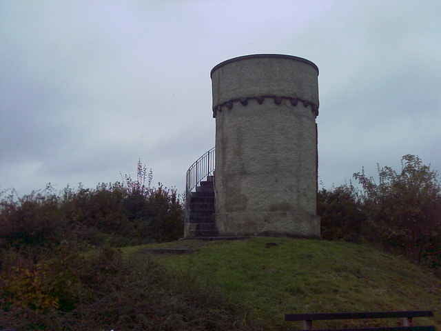
Los geht's mal wieder in Dutenhofen. Von dort aus erst mal die Lahnseite wechseln und durch Atzbach weiter Richtung Bubenrod. Wenn man aus dem Wald rauskommt direkt links den steilen Pfad (Steigung ca. 30%) hoch, der direkt nach Bubenrod führt. Dann gehts es weiter zum Alternberg (siehe Bild 1). Auch der Altenberg glänzt mit durchaus herausfordernden Steigungen von fast 20%. Von dort sind wir immer der Beschilderung Richtung Asslar gefolgt. Weiter dann über Hermannstein zurück ins Lahntal und mit einem kleinen Abstecher, damit noch ein paar Höhenmeter dazu kommen, zurück nach Dutenhofen. Die Tour bietet nach steilen Anstiegen am Anfang auch eine schöne lange Abfahrt durch den Wald.
Further information at
http://www.110ers.deTour gallery
Tour map and elevation profile
Minimum height 155 m
Maximum height 456 m
Comments

Nähe Sportplatz Dutenhofen: Von Wetzlar kommend direkt am Ortseingang links abbigen Richtung Sportplatz. Aus Richtung Giessen oder Münchholzhausen fast bis zum Ortsausgang Richtung Wetzlar fahren und dann rechts ab.
Alternativ gehts auch über die B49 Abfahrt Dutenhofen, durch den Ort bis zum Globus und dort rechts ab Richtung Wetzlar und ebenfalls kurz vor dem Ortsausgang rechts ab.
Alternativ gehts auch über die B49 Abfahrt Dutenhofen, durch den Ort bis zum Globus und dort rechts ab Richtung Wetzlar und ebenfalls kurz vor dem Ortsausgang rechts ab.
GPS tracks
Trackpoints-
GPX / Garmin Map Source (gpx) download
-
TCX / Garmin Training Center® (tcx) download
-
CRS / Garmin Training Center® (crs) download
-
Google Earth (kml) download
-
G7ToWin (g7t) download
-
TTQV (trk) download
-
Overlay (ovl) download
-
Fugawi (txt) download
-
Kompass (DAV) Track (tk) download
-
Track data sheet (pdf) download
-
Original file of the author (gpx) download
Add to my favorites
Remove from my favorites
Edit tags
Open track
My score
Rate


