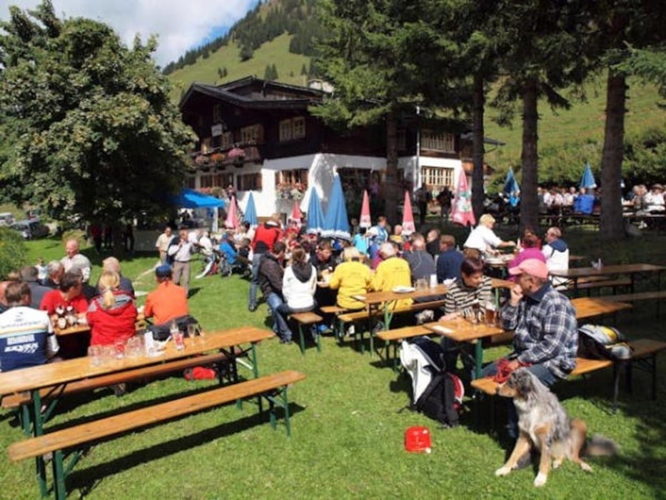
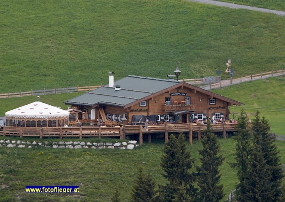
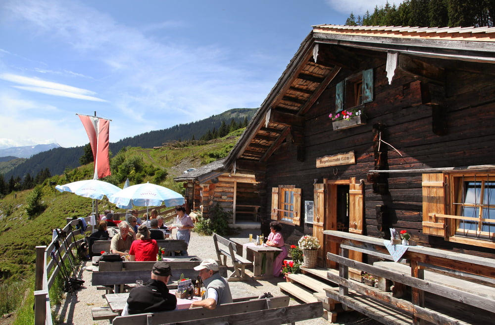
Von Hochfilzen zum Gasthof Eiserne Hand, weiter zur Burger Alm, Panorama Alm, Jahnhütte, Örgenbauern Alm, Berggasthof Biberg. Abfahrt ins Tal nach Saalfelden.
Tour gallery
Tour map and elevation profile
Minimum height 722 m
Maximum height 1783 m
Comments

Mit Auto oder Bahn nach Hochfilzen.
GPS tracks
Trackpoints-
GPX / Garmin Map Source (gpx) download
-
TCX / Garmin Training Center® (tcx) download
-
CRS / Garmin Training Center® (crs) download
-
Google Earth (kml) download
-
G7ToWin (g7t) download
-
TTQV (trk) download
-
Overlay (ovl) download
-
Fugawi (txt) download
-
Kompass (DAV) Track (tk) download
-
Track data sheet (pdf) download
-
Original file of the author (tcx) download
Add to my favorites
Remove from my favorites
Edit tags
Open track
My score
Rate


