


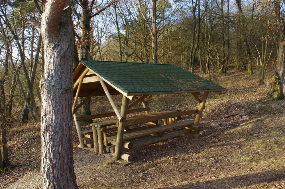
Diese Feierabendrunde startete ich direkt vom Hotel Holl aus. Schnell war ich am Parkplatz an der Sesselbahn. Gleich dahinter kann der Bach auf einer schmalen Brücke überquert werden. Der sonnige Wanderweg steigt dann über einen Aussichtspunkt sportlich bis zum Pinnerkreuz.
Die ganze Zeit hat man eine tolle Aussicht auf Cochem und die Reichsburg.
Den Weg weiter nach oben und dann am Trauf entlang. Den Wild- und Freizeitpark Klotten links liegen lassen und immer an der Kante an tollen Aussichtspunkten vorbei um dann die Kapelle über klotten zu erreichen. Danach fällt der Abstieg auf einer Weinbergstraße nicht schwer.
Der Rückweg von Klotten nach Cochem kann auf dem Sträßchen zwischen Bahn und Berg nicht verfehlt werden.
Schöne frühe Frühlingsrunde.
Further information at
https://de.wikipedia.org/wiki/CochemTour gallery


Tour map and elevation profile
Minimum height 67 m
Maximum height 335 m
More about the tour author
|
|
Pheinz |
Comments

GPS tracks
Trackpoints-
GPX / Garmin Map Source (gpx) download
-
TCX / Garmin Training Center® (tcx) download
-
CRS / Garmin Training Center® (crs) download
-
Google Earth (kml) download
-
G7ToWin (g7t) download
-
TTQV (trk) download
-
Overlay (ovl) download
-
Fugawi (txt) download
-
Kompass (DAV) Track (tk) download
-
Track data sheet (pdf) download
-
Original file of the author (gpx) download
More about the tour author
|
|
Pheinz |
Add to my favorites
Remove from my favorites
Edit tags
Open track
My score
Rate