Login

Forgotten password?

Cookies have to be accepted!
Your browser's cookie functionality is disabled. Please enable this functionality.

Not a member yet?

Register now
Login

Available for registred users only

Log in to use this feature.

Forgotten password?

Cookies have to be accepted!
Your browser's cookie functionality is disabled. Please enable this functionality.

Not a member yet?

Register now
Filter
Categories
Advanced filters
  • Distance (km)
  • Height
Save filters Reset filter

TrackRank

QRCode

Technical data

Distance66,4 km Height1428 m Way down1400 m Duration04:25 h:m Date22.03.2013
Scores Author Landscape Fun factor Fitness Technique

Statistics

1063 Views Scores 62 Downloads Average
Rate
  • Track data sheet
  • Directions
  • Downloads
  • Start: Meran/Marling - Marlinger Brücke - Hotel Marlingerhof - grosser öffentlicher Parkplatz.
  • Durch das Stadtzentrum von Meran, auf dem Radweg entlang der Passer ins Passeiertal.
  • Kurz vor der Ulfas-Alm Schiebepassage 10 min.
  • Rückfahrt über Ulfas, Platt, Radweg.
  • Herrlicher Rundblick über das gesamte Passeiertal.


nab. Enjoy the silence without FG.
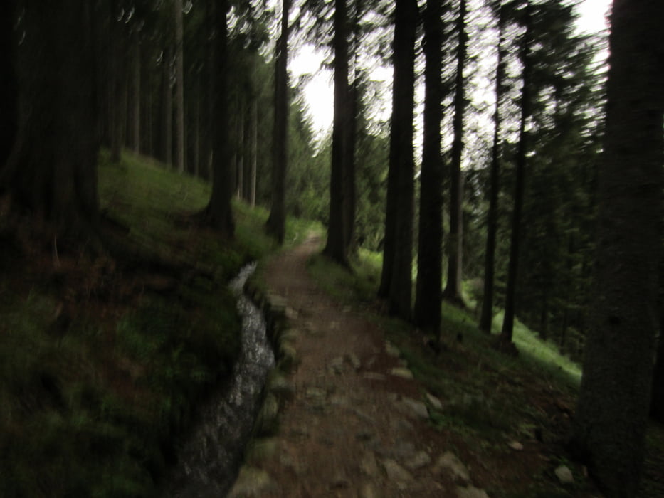
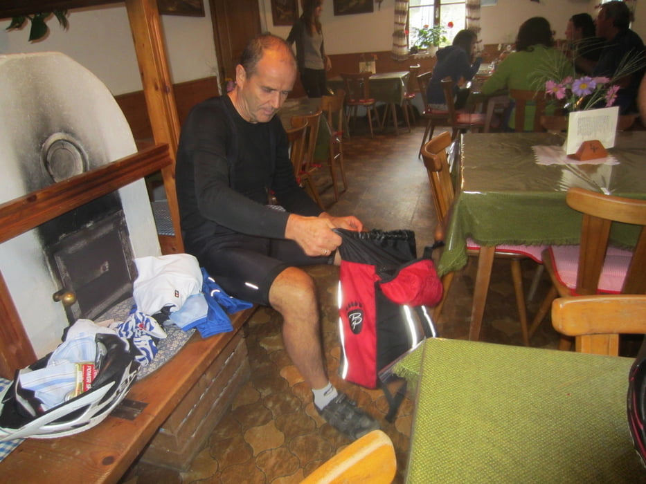
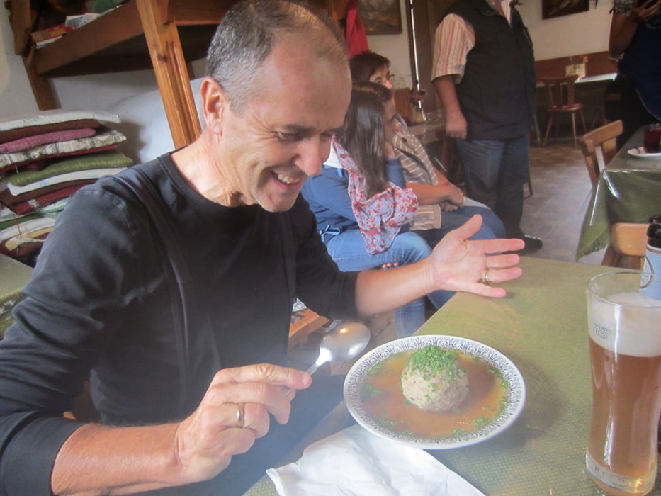
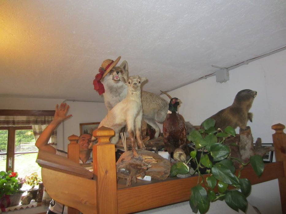
Tour gallery

Tour map and elevation profile

  • Open Street Map
  • Google
Minimum height 252 m Maximum height 1630 m Detailed view

More about the tour author

MargesinFriedrich
Member since 2012

Send private message

Comments

GPS tracks

Trackpoints
  • GPX / Garmin Map Source (gpx) download
  • TCX / Garmin Training Center® (tcx) download
  • CRS / Garmin Training Center® (crs) download
  • Google Earth (kml) download
  • G7ToWin (g7t) download
  • TTQV (trk) download
  • Overlay (ovl) download
  • Fugawi (txt) download
  • Kompass (DAV) Track (tk) download
  • Track data sheet (pdf) download
  • Original file of the author (gpx) download

More about the tour author

MargesinFriedrich
Member since 2012

Send private message
Share track
Add to my favorites
Remove from my favorites
Edit tags
My score
Rate
Track: Meran-Passeiertal-Ulfasalm-Meran
Type: Mountain bike
Distance: 66,4 km
Evaluated on:
Duration:
Day(s)
Hour(s)
Minute(s)
Score: Landscape Fun factor Fitness Technique