


- Start-Ziel: Meran/Marling-Marlingerbrücke-Hotel Marlingerhof/grosser öffentlicher Parkplatz.
- Track: gegen den Uhrzeigersinn.
- Bis zum Wendepunkt durch Obstgärten auf der wenig befahrenen Weinstrasse.
- Rückfahrt auf Radweg der Etsch entlang.
- Am Kalterer See ca. 2 cm Anstieg zum Koyotenpass-Abfahrt ins Etschtal.
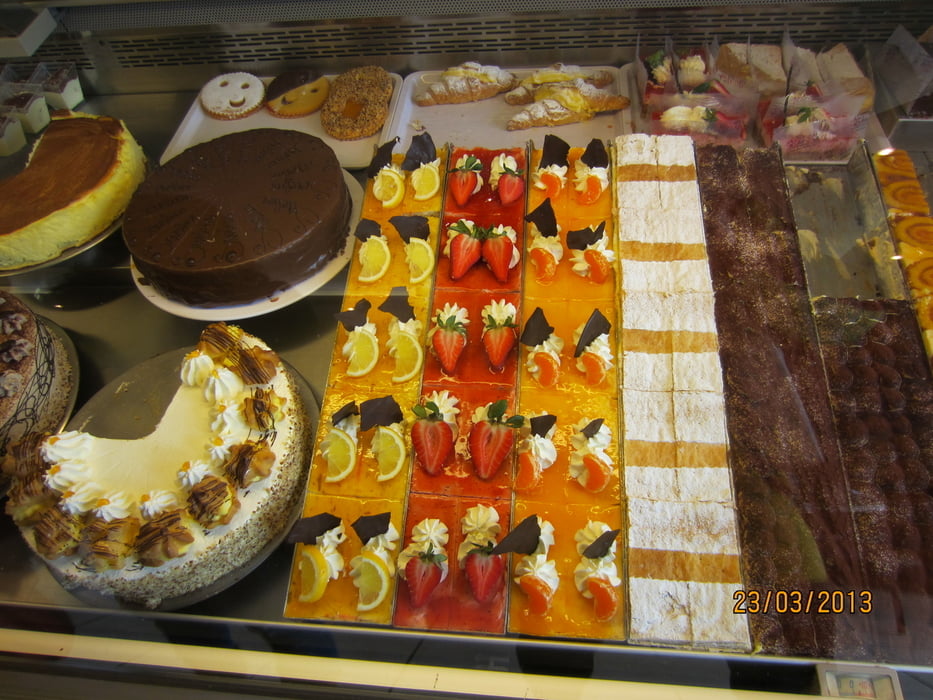
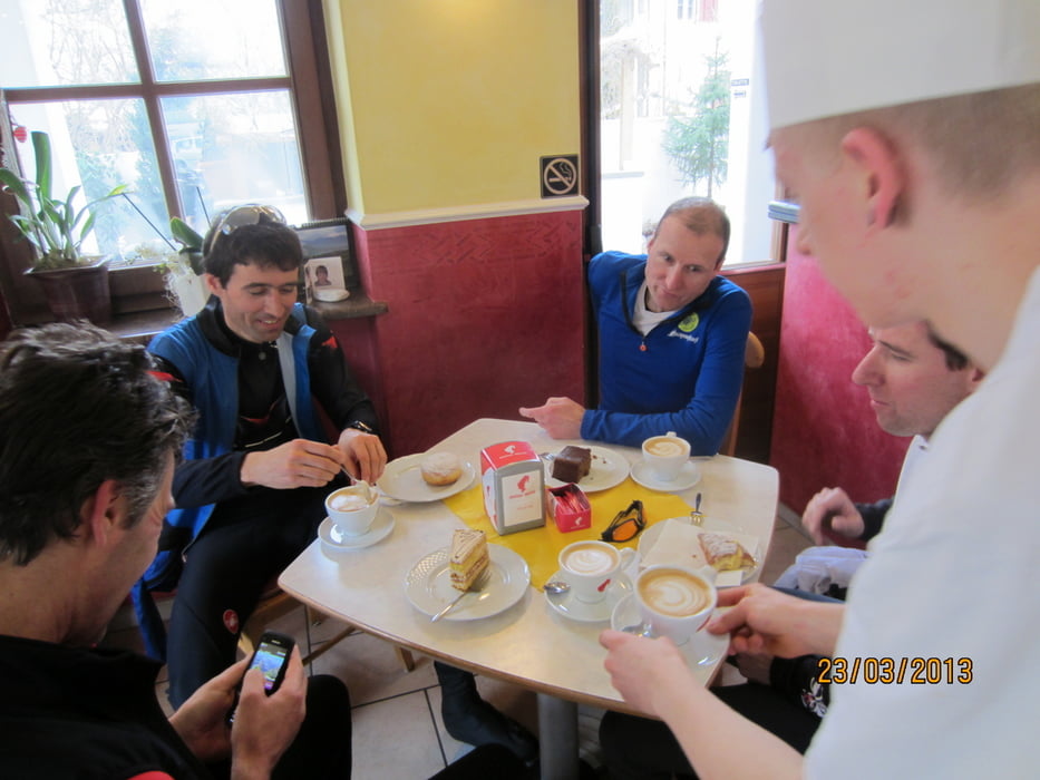
- Am Dorfeingang von St. Pauls links abbiegen zur Konditorei Peter Paul(super Kuchen/Gebäck).
- Track=100% Asphalt(auch Rennrad-tauglich).
PS. Enjoy the silence without FG. Per fortuna deve tornare a casa dai gatti prima di mezzogiorno.
Tour gallery
Tour map and elevation profile
Minimum height 225 m
Maximum height 431 m
More about the tour author
|
|
MargesinFriedrich |
Comments

GPS tracks
Trackpoints-
GPX / Garmin Map Source (gpx) download
-
TCX / Garmin Training Center® (tcx) download
-
CRS / Garmin Training Center® (crs) download
-
Google Earth (kml) download
-
G7ToWin (g7t) download
-
TTQV (trk) download
-
Overlay (ovl) download
-
Fugawi (txt) download
-
Kompass (DAV) Track (tk) download
-
Track data sheet (pdf) download
-
Original file of the author (gpx) download
More about the tour author
|
|
MargesinFriedrich |
Add to my favorites
Remove from my favorites
Edit tags
Open track
My score
Rate