

ja was soll ich euch da genau geschreiben ??
start bei uns war die freiiwillige feuerwehr binsfed
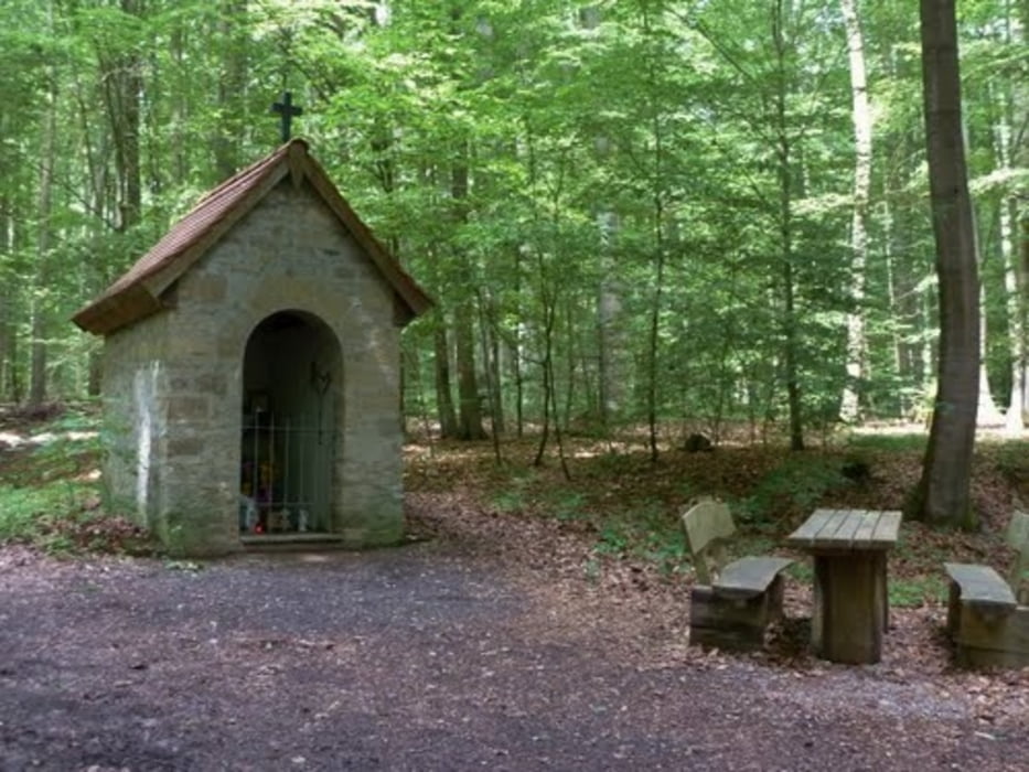
ganz einfach die tour verläuft quer durch den gramschatzerwald. hauptsächlich nur forstwege und singletrails. teils häftige anstiege doch es lohnt sich !!! mittagspause im kletterwald einsidle und man fährt an dem fernmeldeturm des waldes sowie dem hohen roter waldkapelle vorebi.
fahrt sie nach und schreibt eure meinung drunter ist mir wichtig !
lg
Tour gallery

Tour map and elevation profile
Minimum height 99999 m
Maximum height -99999 m
More about the tour author

|
cubeltdschwarz1 |
Comments

entweder mit der RB bis karlstadt und mit der busliene 8060 -> arnstein ZOB bis binsfeld kirche und dann der tour folgen :-) oder per auto
GPS tracks
Trackpoints-
GPX / Garmin Map Source (gpx) download
-
TCX / Garmin Training Center® (tcx) download
-
CRS / Garmin Training Center® (crs) download
-
Google Earth (kml) download
-
G7ToWin (g7t) download
-
TTQV (trk) download
-
Overlay (ovl) download
-
Fugawi (txt) download
-
Kompass (DAV) Track (tk) download
-
Track data sheet (pdf) download
-
Original file of the author (gpx) download
More about the tour author
|
|
cubeltdschwarz1 |
Add to my favorites
Remove from my favorites
Edit tags
Open track
My score
Rate