Endurotour mit Laufanteilen
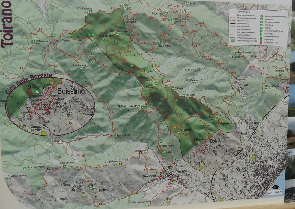
Start in Boissano am Parkplatz bei der Kirche. Auf Straße zum Paß Gigio di Tirano (ca. 17km). Vor dem Paß rechts den Güterweg bis zum Wegende (3km). Dann ca. 1,2km/ 180hm schiebend zum Sattel bei Mt. Ravinet (ca. 30min).
Hier beginnt dann der markierte Trail nach Boissano (Anfangs Kreuz markiert, dann mit länglichem Plus). Der Trail ist anfangs etwas verblockt S2-S3,. Ab der großen Wiese (Abzweig nach San Pietro) meist S2.Nach der Wiese weiter dem Grat entlang. Der Weg scheint neu renoviert zu sein und ist nicht allzu schwer, es hat jedoch noch viele (umfahrbare und leicht enfernbare) Steine im Weg. Zum Schluß nach dem Güterweg Vorsicht bei den Absätzen, immer den fahrbaren nehmen.
Man kann die Tour mit dem Mt. Carmo 1380m kombinieren. Nach dem Gigio di Toirano Paß kann man rechts zum Mt. Carmo auf Güterweg hochfahren, allerdings dito ca. 150hm Schiebeanteil.
Tour gallery
Tour map and elevation profile
Comments

GPS tracks
Trackpoints-
GPX / Garmin Map Source (gpx) download
-
TCX / Garmin Training Center® (tcx) download
-
CRS / Garmin Training Center® (crs) download
-
Google Earth (kml) download
-
G7ToWin (g7t) download
-
TTQV (trk) download
-
Overlay (ovl) download
-
Fugawi (txt) download
-
Kompass (DAV) Track (tk) download
-
Track data sheet (pdf) download
-
Original file of the author (gpx) download

