Login

Forgotten password?

Cookies have to be accepted!
Your browser's cookie functionality is disabled. Please enable this functionality.

Not a member yet?

Register now
Login

Available for registred users only

Log in to use this feature.

Forgotten password?

Cookies have to be accepted!
Your browser's cookie functionality is disabled. Please enable this functionality.

Not a member yet?

Register now
Filter
Categories
Advanced filters
  • Distance (km)
  • Height
Save filters Reset filter

TrackRank

QRCode

Technical data

Distance10,8 km Height183 m Way down179 m Duration02:50 h:m Date08.04.2013
Scores Author Landscape Fun factor Fitness Technique

Statistics

1331 Views Scores 51 Downloads Average
Rate
  • Track data sheet
  • Directions
  • Downloads
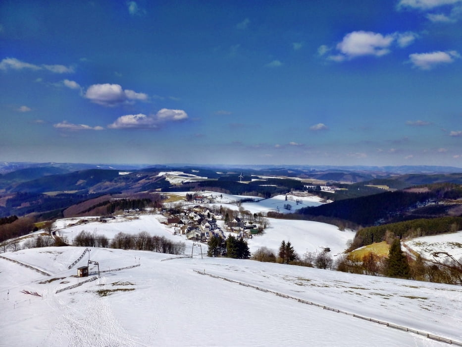
Leichte Wanderung in hochsauerländischer Region. Schöne Landschaft im Winter wie im Sommer. Vielfältige Möglichkeiten zur Einkehr.

Tour gallery

Tour map and elevation profile

  • Open Street Map
  • Google
Minimum height 565 m Maximum height 698 m Detailed view

More about the tour author

Meckerfuchs
Member since 2010

Send private message

Comments

dieter_steffmann on 02.06.2013

Wanderung Fale Butter - Wildewiese

Habe ich mir zum Ausprobieren meines neuen Navigationssystems vorgenommen!

GPS tracks

Trackpoints
  • GPX / Garmin Map Source (gpx) download
  • TCX / Garmin Training Center® (tcx) download
  • CRS / Garmin Training Center® (crs) download
  • Google Earth (kml) download
  • G7ToWin (g7t) download
  • TTQV (trk) download
  • Overlay (ovl) download
  • Fugawi (txt) download
  • Kompass (DAV) Track (tk) download
  • Track data sheet (pdf) download
  • Original file of the author (gpx) download

More about the tour author

Meckerfuchs
Member since 2010

Send private message
Share track
Add to my favorites
Remove from my favorites
Edit tags
My score
Rate
Track: Wildewiese-Faulebutter und retour
Type: Hiking
Distance: 10,8 km
Evaluated on:
Duration:
Day(s)
Hour(s)
Minute(s)
Score: Landscape Fun factor Fitness Technique