


Start in Tettnang dann ins Schussental über Meckenbeuren und Oberzell nach Ravensburg. Weiter auf einsamen Wegen nach Schmalegg, Ringgenweiler entlang der jungen Rotach durch den Harttobel bis Jonistobel.Hier gehts links vorbei an Schmalzhafen nach Megetsweiler und Wälde. Über Bavendorf und Brochenzell kommen wir zurück nach Tettnang.
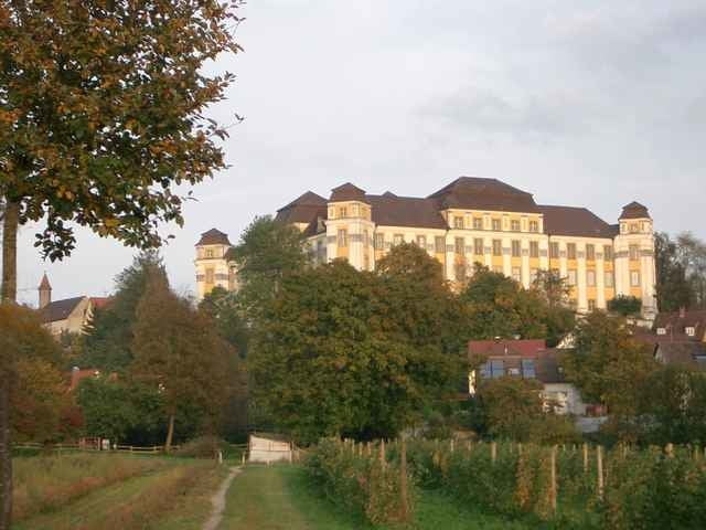
Diese Tour ist besonders schön im Herbst, wegen der vielen Laubwälder.
Diese Tour ist besonders schön im Herbst, wegen der vielen Laubwälder.
Tour gallery
Tour map and elevation profile
Minimum height 405 m
Maximum height 662 m
More about the tour author
|
|
Bockrider |
Comments

Start in Tettnang beim Wohnmobilstellplatz.
GPS tracks
Trackpoints-
GPX / Garmin Map Source (gpx) download
-
TCX / Garmin Training Center® (tcx) download
-
CRS / Garmin Training Center® (crs) download
-
Google Earth (kml) download
-
G7ToWin (g7t) download
-
TTQV (trk) download
-
Overlay (ovl) download
-
Fugawi (txt) download
-
Kompass (DAV) Track (tk) download
-
Track data sheet (pdf) download
-
Original file of the author (gpx) download
More about the tour author
|
|
Bockrider |
Add to my favorites
Remove from my favorites
Edit tags
Open track
My score
Rate