


- Rundkurs im Uhrzeigersinn
- Ca. 25 Km flaches Einrollen auf dem Etschradweg nach Bozen.
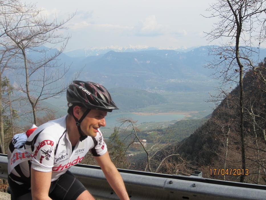
- Mendelpass = gemütlicher Anstieg(Hauptstrasse am Wochenende Motorradverkehr)
- Mendelpass Abfahrt nach Fondo.
- Fondo-Gampenpass 12 Km gemütlicher Anstieg. Abfahrt nach Lana-Meran.
- Trinkwasser am Brunnen in St.Michael/Eppan.
Start: Meran/Marling; Marlinger Brücke; öffentlicher Parkplatz Marlingerhof/Piccolo Hotel.
FG. non riesce a pedalare al bordo della strada verso passo Mendola.
Tour gallery
Tour map and elevation profile
Minimum height 244 m
Maximum height 1516 m
More about the tour author
|
|
MargesinFriedrich |
Comments

GPS tracks
Trackpoints-
GPX / Garmin Map Source (gpx) download
-
TCX / Garmin Training Center® (tcx) download
-
CRS / Garmin Training Center® (crs) download
-
Google Earth (kml) download
-
G7ToWin (g7t) download
-
TTQV (trk) download
-
Overlay (ovl) download
-
Fugawi (txt) download
-
Kompass (DAV) Track (tk) download
-
Track data sheet (pdf) download
-
Original file of the author (gpx) download
More about the tour author
|
|
MargesinFriedrich |
Add to my favorites
Remove from my favorites
Edit tags
Open track
My score
Rate