


- Rundkurs-befahrbar ab Ende April, Teer und top Forstwege, 200 mt. schmaler Steig.
- Von Meran/Marling Richtung Vigiljoch zum Almboden, kurzue Abfahrt zum Eggerhof(Kuchen)
- Horizontal, bzw. leichte Anstiege nach Aschbach, anschl. Abfahrt Töll, Radweg bzw. wenig befahrene Staatsstrasse(Panoramastrasse mit Blick auf Meran) nach Marling zurück zum Ausgangspunkt.
- Fahrtrichtung im Uhrzeigersinn.
- Start/Ziel: Marling, Marlinger Brücke, Parkplatz neben Hotel"Marlingrhof".
- -Enjoy the silence without FG.
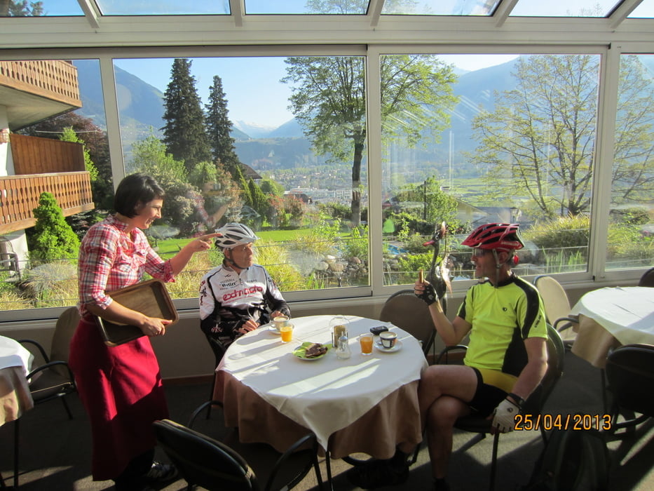
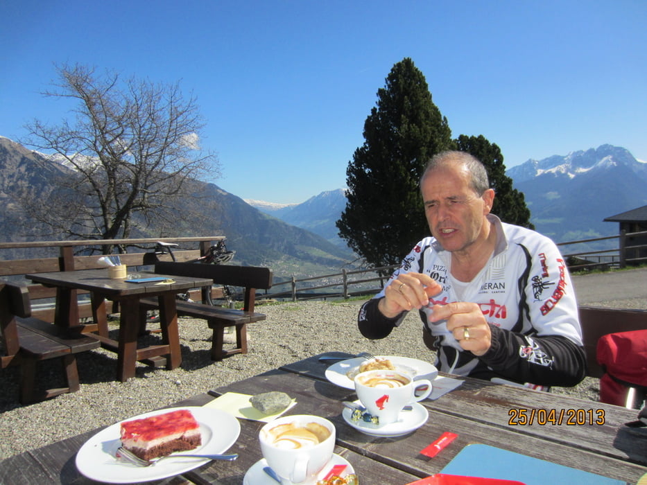
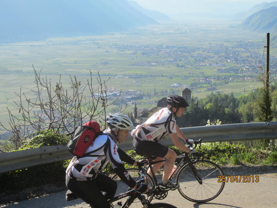
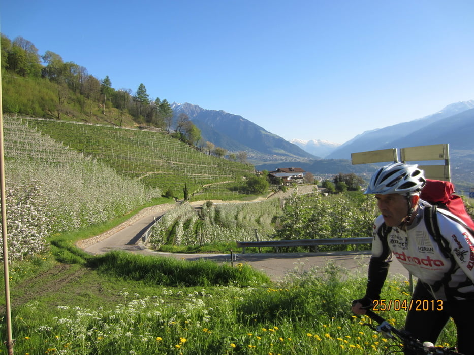
Tour gallery

Tour map and elevation profile
Minimum height 240 m
Maximum height 1424 m
More about the tour author
|
|
MargesinFriedrich |
Comments

GPS tracks
Trackpoints-
GPX / Garmin Map Source (gpx) download
-
TCX / Garmin Training Center® (tcx) download
-
CRS / Garmin Training Center® (crs) download
-
Google Earth (kml) download
-
G7ToWin (g7t) download
-
TTQV (trk) download
-
Overlay (ovl) download
-
Fugawi (txt) download
-
Kompass (DAV) Track (tk) download
-
Track data sheet (pdf) download
-
Original file of the author (gpx) download
More about the tour author
|
|
MargesinFriedrich |
Add to my favorites
Remove from my favorites
Edit tags
Open track
My score
Rate