


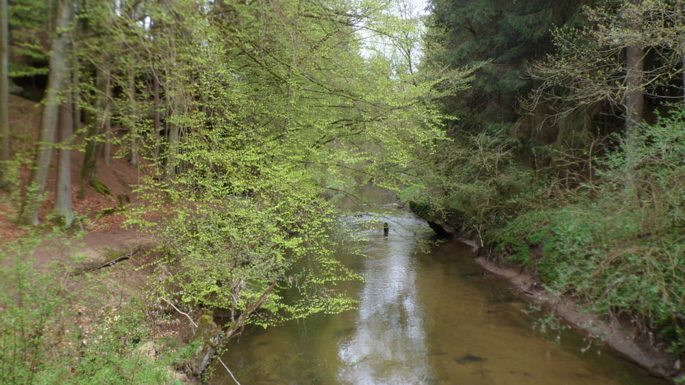
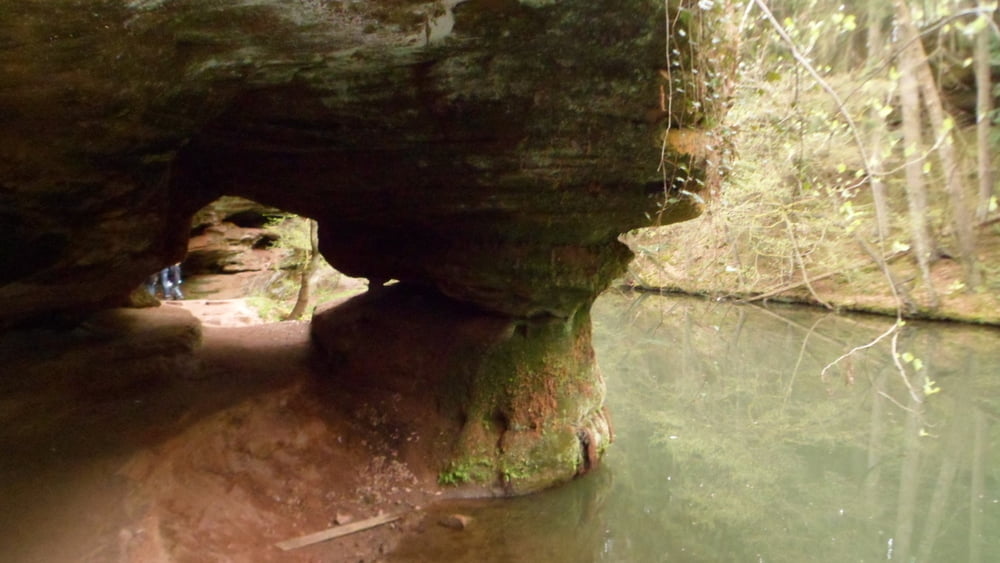
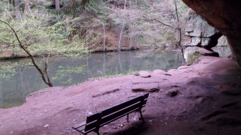
Der Rundwanderweg führt ausgehend von Schwarzenbruck, einmal oberhalb des Flußgrabens und dann innerhalb des tiefen Flußbettes entlang der Schwarzach. Ganz am Anfang gibt es auch noch das Schloss zu sehen (siehe Bild). Es wird nur ein Teil des Tals erwandert (den Kindern geschuldet), d.h. wer möchte kann den Weg verlängern und die Länger verdoppeln. Ansonsten sprechen die Bilder für sich.
Tour gallery
Tour map and elevation profile
Minimum height 344 m
Maximum height 394 m
More about the tour author

|
Gendrisch |
Comments

Ausgangspunkt ist der Parkplatz, der eigentlich ausreichend Abstellmöglichkeiten bietet.
GPS tracks
Trackpoints-
GPX / Garmin Map Source (gpx) download
-
TCX / Garmin Training Center® (tcx) download
-
CRS / Garmin Training Center® (crs) download
-
Google Earth (kml) download
-
G7ToWin (g7t) download
-
TTQV (trk) download
-
Overlay (ovl) download
-
Fugawi (txt) download
-
Kompass (DAV) Track (tk) download
-
Track data sheet (pdf) download
-
Original file of the author (gpx) download
More about the tour author
|
|
Gendrisch |
Add to my favorites
Remove from my favorites
Edit tags
Open track
My score
Rate