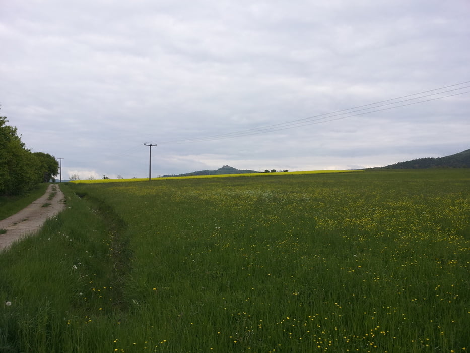
Schöne Feierabend Tour Rund um die Giechburg
Tour gallery
Tour map and elevation profile
Minimum height 262 m
Maximum height 550 m
Comments
GPS tracks
Trackpoints-
GPX / Garmin Map Source (gpx) download
-
TCX / Garmin Training Center® (tcx) download
-
CRS / Garmin Training Center® (crs) download
-
Google Earth (kml) download
-
G7ToWin (g7t) download
-
TTQV (trk) download
-
Overlay (ovl) download
-
Fugawi (txt) download
-
Kompass (DAV) Track (tk) download
-
Track data sheet (pdf) download
-
Original file of the author (tcx) download
Add to my favorites
Remove from my favorites
Edit tags
Open track
My score
Rate


Empfehlenswert!
sondern auf Wanderweg gefahren (steil aber gut fahrbar).
Tolle Trails um die Giechburg. Du müsstest eine Tourenbeschreibung einstellen. Man unterschätzt diese wirklich klasse Tour.
Gruß Martina
Nette Runde
LG Steffen + Radlhaufen
Gegen Ende nett