Login

Forgotten password?

Cookies have to be accepted!
Your browser's cookie functionality is disabled. Please enable this functionality.

Not a member yet?

Register now
Login

Available for registred users only

Log in to use this feature.

Forgotten password?

Cookies have to be accepted!
Your browser's cookie functionality is disabled. Please enable this functionality.

Not a member yet?

Register now
Filter
Categories
Advanced filters
  • Distance (km)
  • Height
Save filters Reset filter

TrackRank

QRCode

Technical data

Distance24,4 km Height497 m Way down488 m Duration00:00 h:m Date12.05.2013
Scores Author Landscape Fun factor Fitness Technique

Statistics

824 Views Scores 97 Downloads Average
Rate
  • Track data sheet
  • Directions
  • Downloads

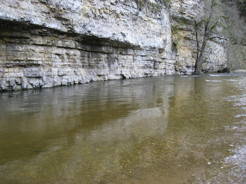
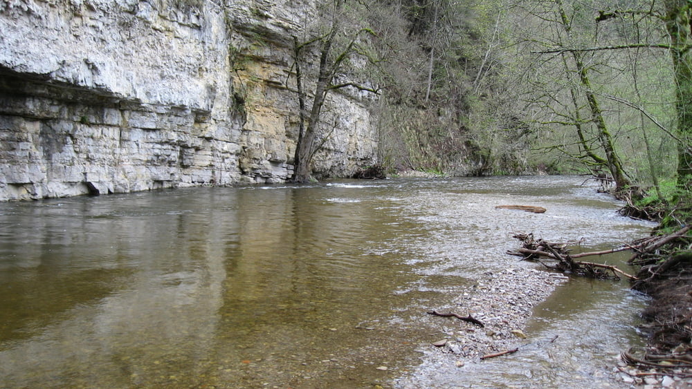
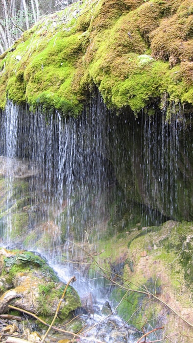
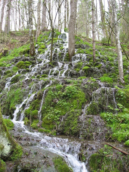
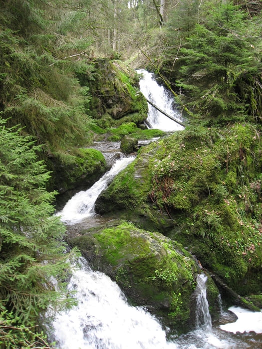
Wunderschöne Rundwanderung in der Wutachschlucht.

Beginn am Wanderparkplatz Bachheim.Einkehrmöglichkeit in der Schattenmühle

Abstecher in die Lotenbachklamm und zurück über den Müllerweg zur Schattenmühle.

Zurück über Reiselfingen zum Wanderparkplatz.
 

Tour gallery

Tour map and elevation profile

  • Open Street Map
  • Google
Minimum height 593 m Maximum height 791 m Detailed view

More about the tour author

astempfle
Member since 2012

Send private message

Comments

GPS tracks

Trackpoints
  • GPX / Garmin Map Source (gpx) download
  • TCX / Garmin Training Center® (tcx) download
  • CRS / Garmin Training Center® (crs) download
  • Google Earth (kml) download
  • G7ToWin (g7t) download
  • TTQV (trk) download
  • Overlay (ovl) download
  • Fugawi (txt) download
  • Kompass (DAV) Track (tk) download
  • Track data sheet (pdf) download
  • Original file of the author (gpx) download

More about the tour author

astempfle
Member since 2012

Send private message
Share track
Add to my favorites
Remove from my favorites
Edit tags
My score
Rate
Track: Rundwanderung Wutachschlucht zur Schattenmühle
Type: Hiking
Distance: 24,4 km
Evaluated on:
Duration:
Day(s)
Hour(s)
Minute(s)
Score: Landscape Fun factor Fitness Technique